Vision
Conserving land and maintaining access for traditional recreational uses including hiking, fishing, snowmobiling, and hunting.
Promoting forest management to provide local jobs.
Protecting wildlife habitat and the Webb Lake Watershed.

The Mt. Blue Tumbledown Project

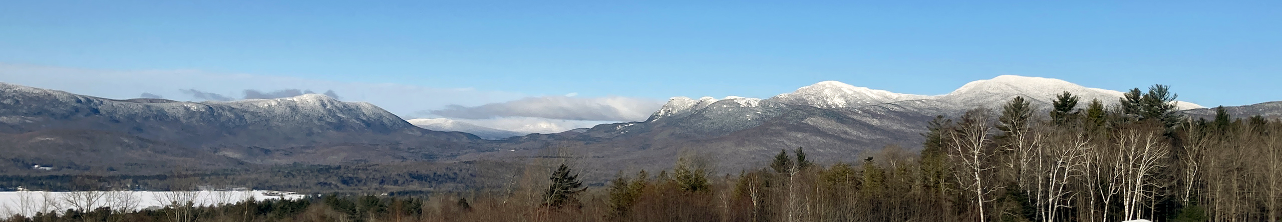
26,000 ACRES PROTECTED.
3,200 acres have been added to Mt. Blue State Park.
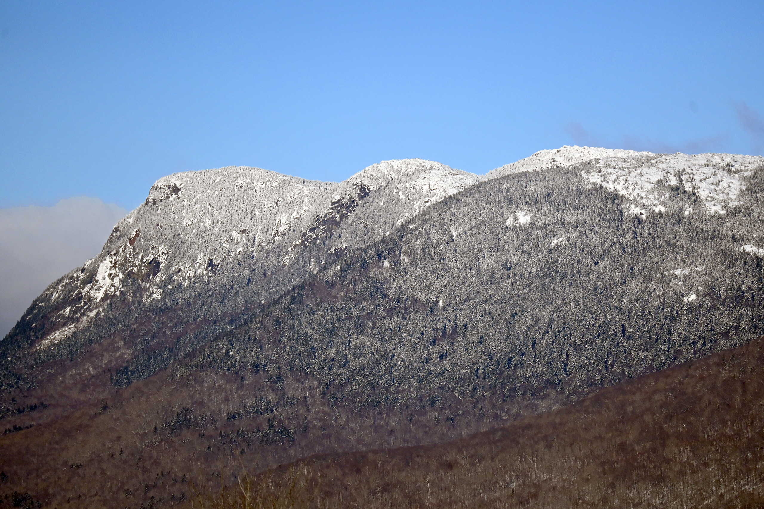
10,600 acres, including most of the Tumbledown Mountain range and its trails, have been added to Maine’s Public Lands system.
7,800 acres of working forest north of Tumbledown Mountain and 4,200 acres next to the park have been protected with conservation easements.
As part of our pledge to help manage these new public lands we have financially supported stewardship positions and trail work.
We must also be ready to protect other significant recreation areas and vistas as they become available!
Support and Volunteer Opportunities
As we watch changes in our landscape, with large forested parcels still being split into smaller and smaller lots, we continue to be grateful that we were able to conserve as much as we have. But there are still other important parcels in this area that we hope to protect when the opportunity arises. When we started TCA to help raise money to protect the mountains we also pledged to be there for the long run. Over the years TCA has contributed nearly $100,000 specifically to support at least 11 stewards, as well as trail work over 7 seasons. Our newsletters have featured reports from some of these stewards. Your contributions have made this possible and will help us continue this important support for stewardship on the mountains.
Private funding donors are not only important, but essential for future land protection and for growing the endowment. Although the State and federal governments have been impressed by the many generous contributions of private individuals to the Mt. Blue -Tumbledown Mountain Project, and such donations are crucial in any quest for public conservation funding, public funds are now very limited and will be harder to get. We cannot expect to receive the level of public funding we have had in the past, so a base of private donors is more important now than ever.
The Mt. Blue -Tumbledown Mountain region has touched the hearts of many people, who have made donations in honor of weddings, birthdays and other life events, and in memory of loved ones who enjoyed the area. School children have initiated fund-raising projects.
Please contribute to help in the management of what we, the citizens of Maine, now own and to protect more of the scenic beauty, natural wonders, and recreation opportunities we value so highly. Your continued support is important.
We also invite you to consider becoming actively involved with the Tumbledown Conservation Alliance, working for the future of conservation in this region.

Do you have a special place in your heart for Tumbledown? If so, why not consider volunteering to help maintain the trails and general area, or help with other tasks that would help create a safe, sustainable and educational experience
for everyone who enjoys Tumbledown Public Lands?
TCA recognizes the necessity to work with the Maine Bureau of Parks and Lands and Mt. Blue State Park to help all of us achieve our common goal of protecting the Tumbledown Public Reserve Lands.
Opportunities exist in many forms, including, but not limited to:

Resources

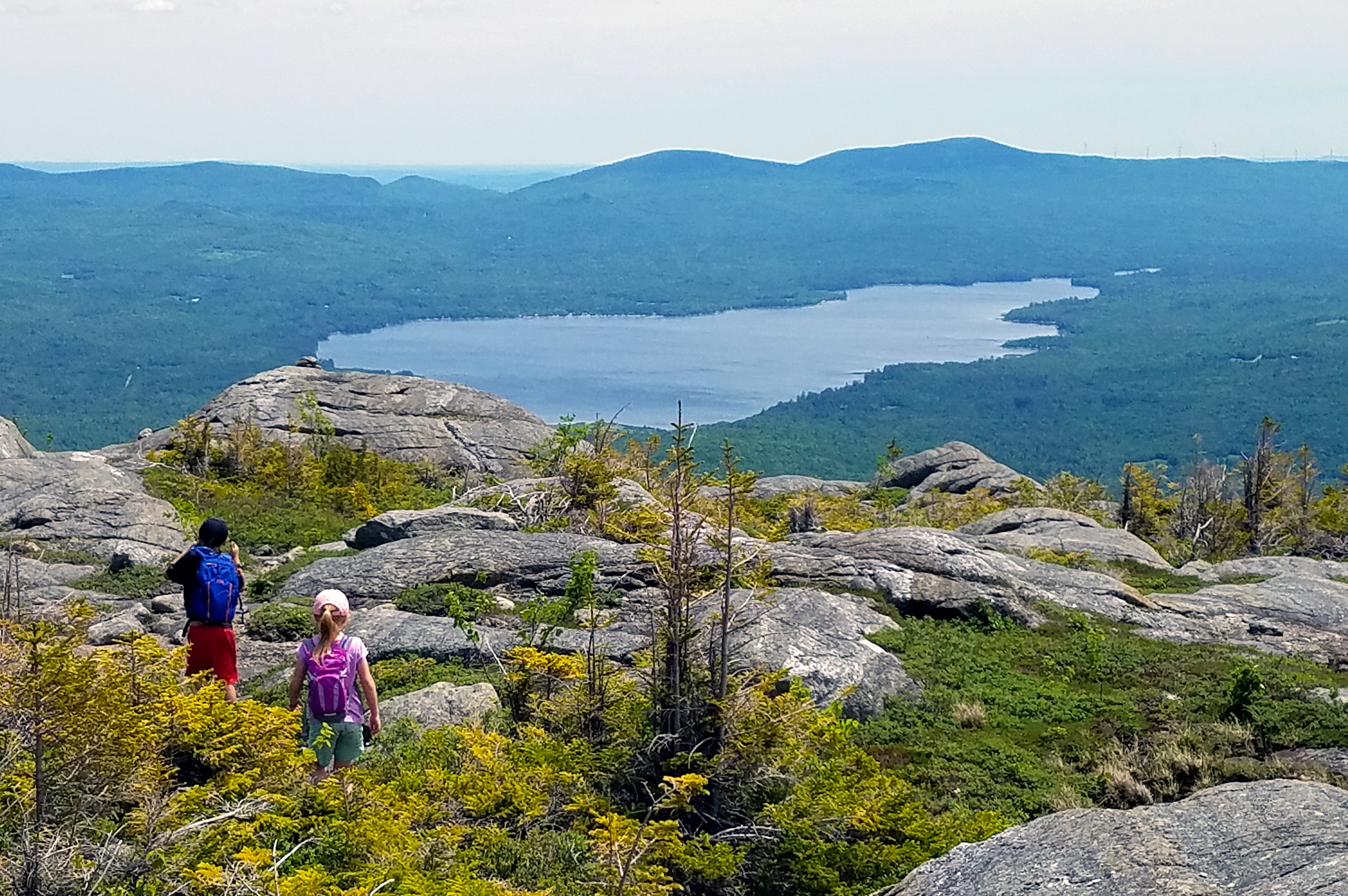
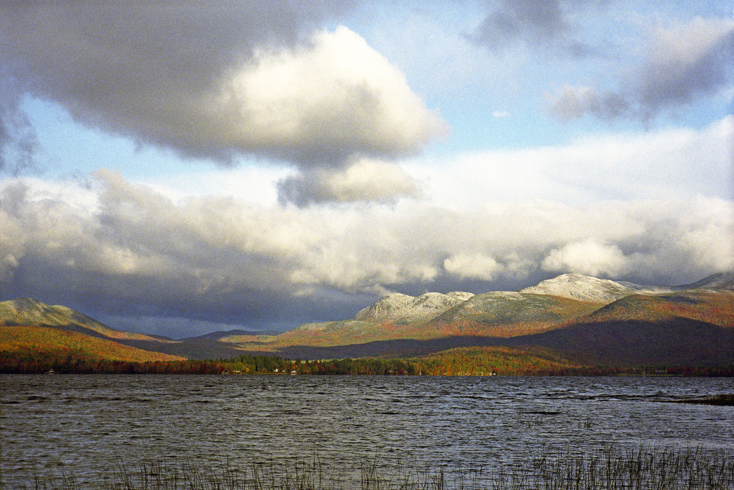
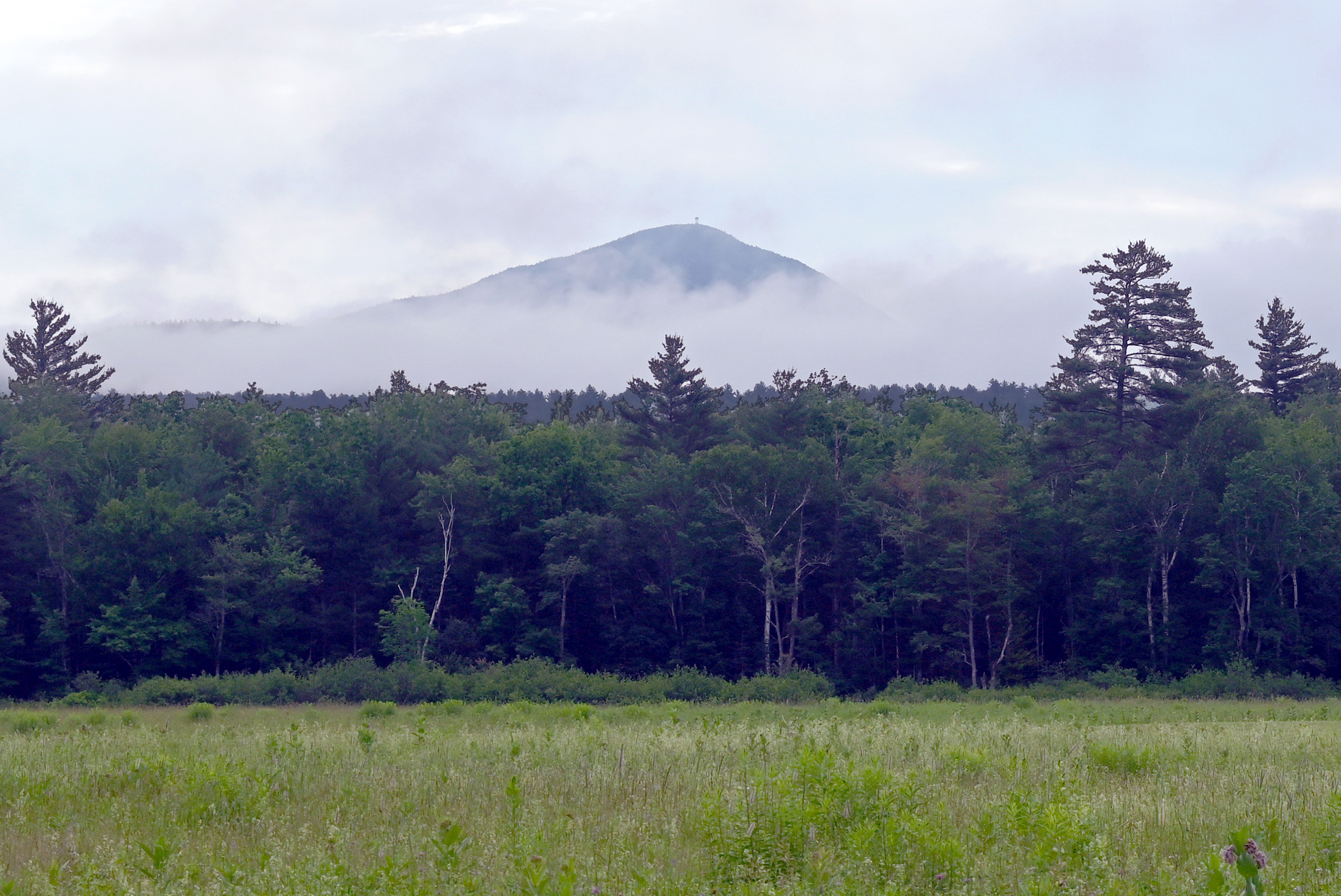
Mt. Blue State Park
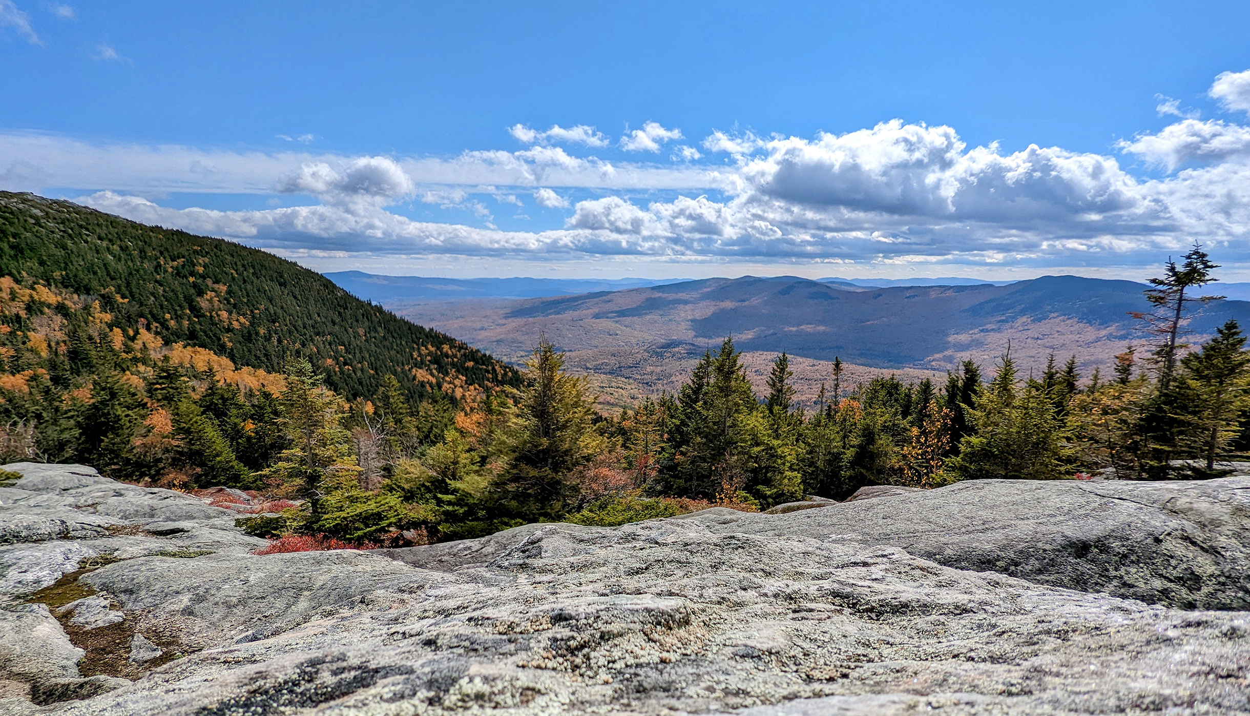
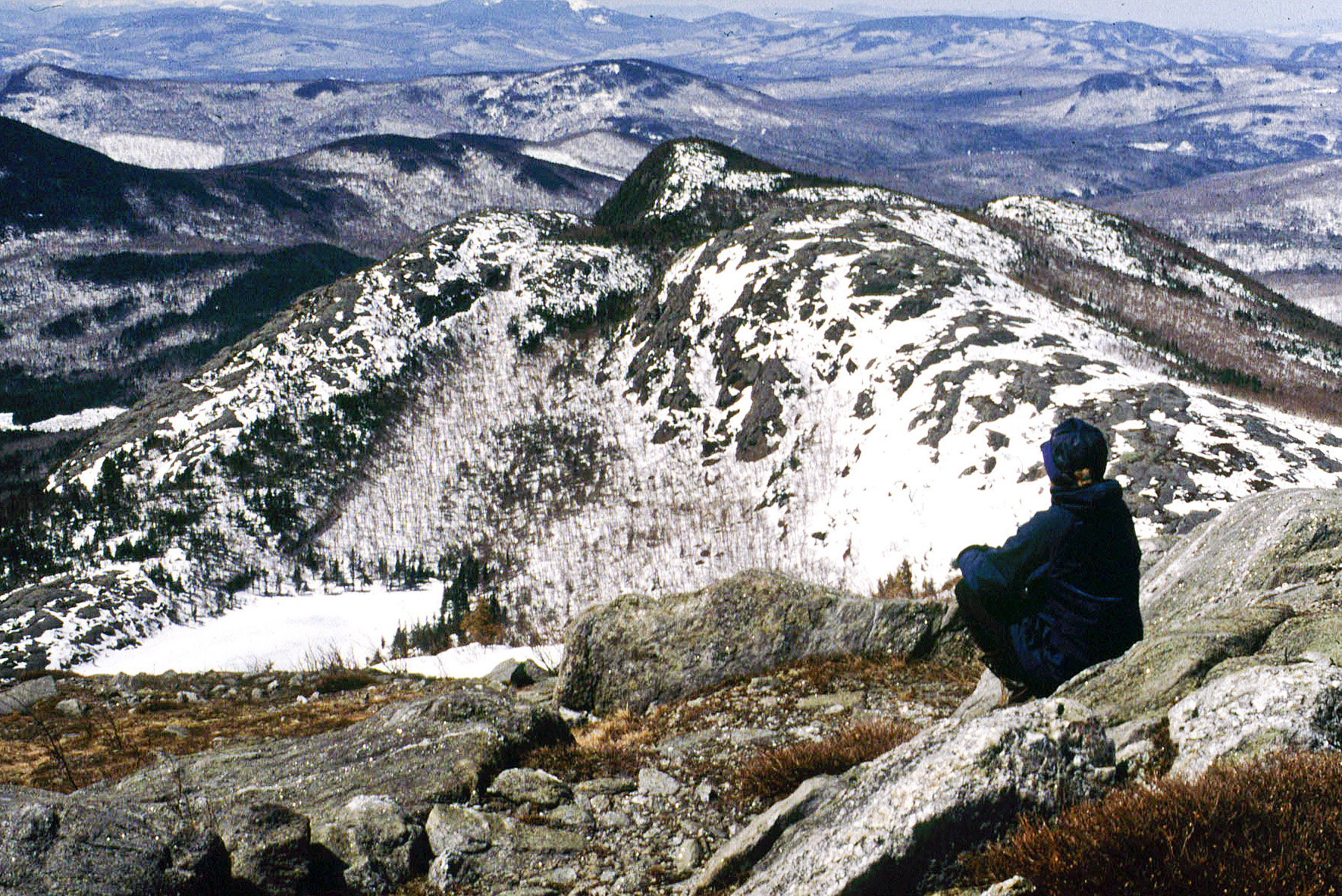
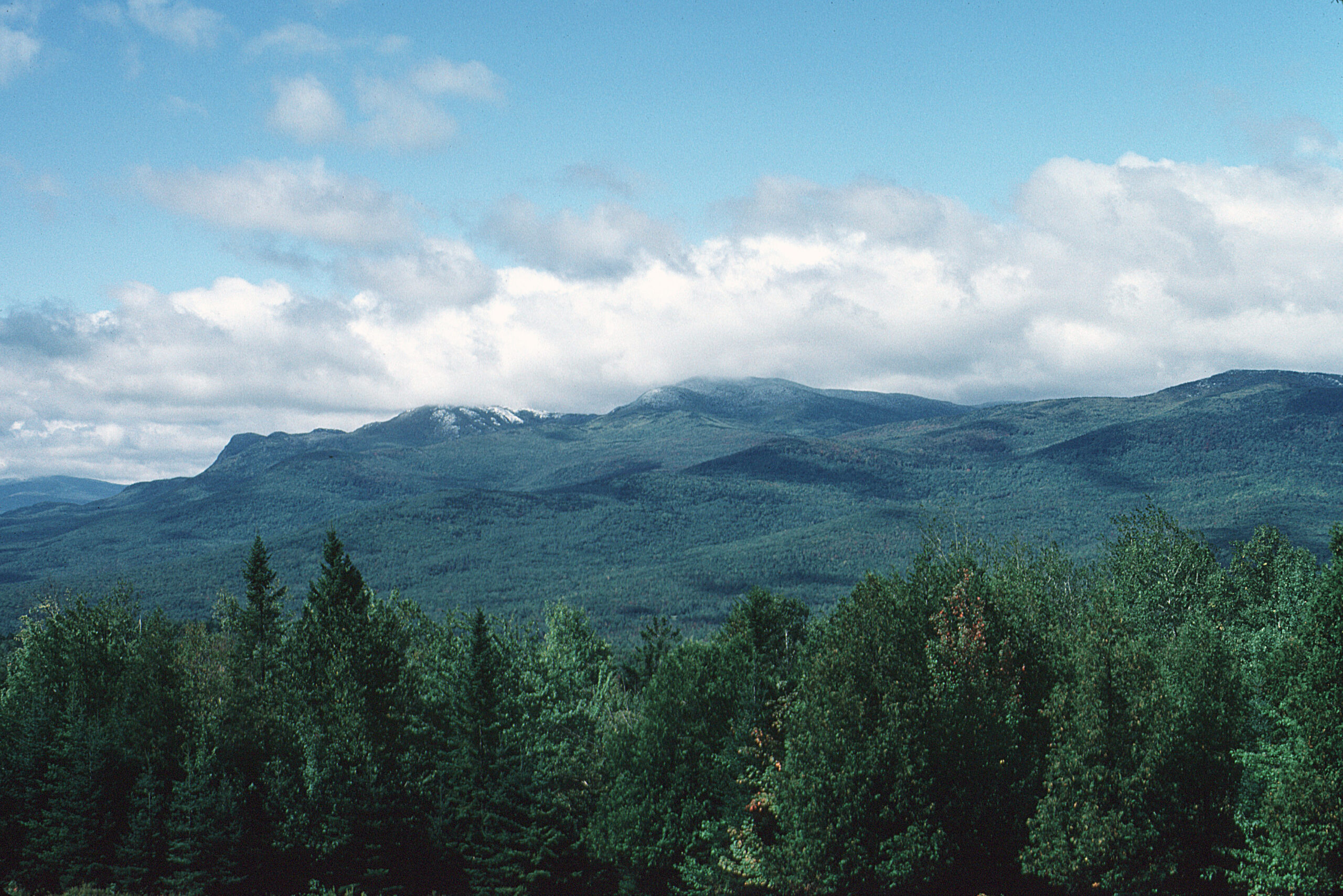
At over 8,200 acres, second only to Baxter State Park in size, this park is the heart of the region and provides an important base of protected public land and wildlife habitat. Mt. Blue has much to offer: camping, hiking, nature trails, spectacular views, boating, hunting and fishing, and a wonderful beach. Over 60,000 people each year visit and enjoy Mt. Blue State Park. Outdoor magazine in 1999 called it one of the ten best family vacation destinations in the country. For Winter Ski and Snowshoe Trail conditions, Text BLUE to 888-514-7527.

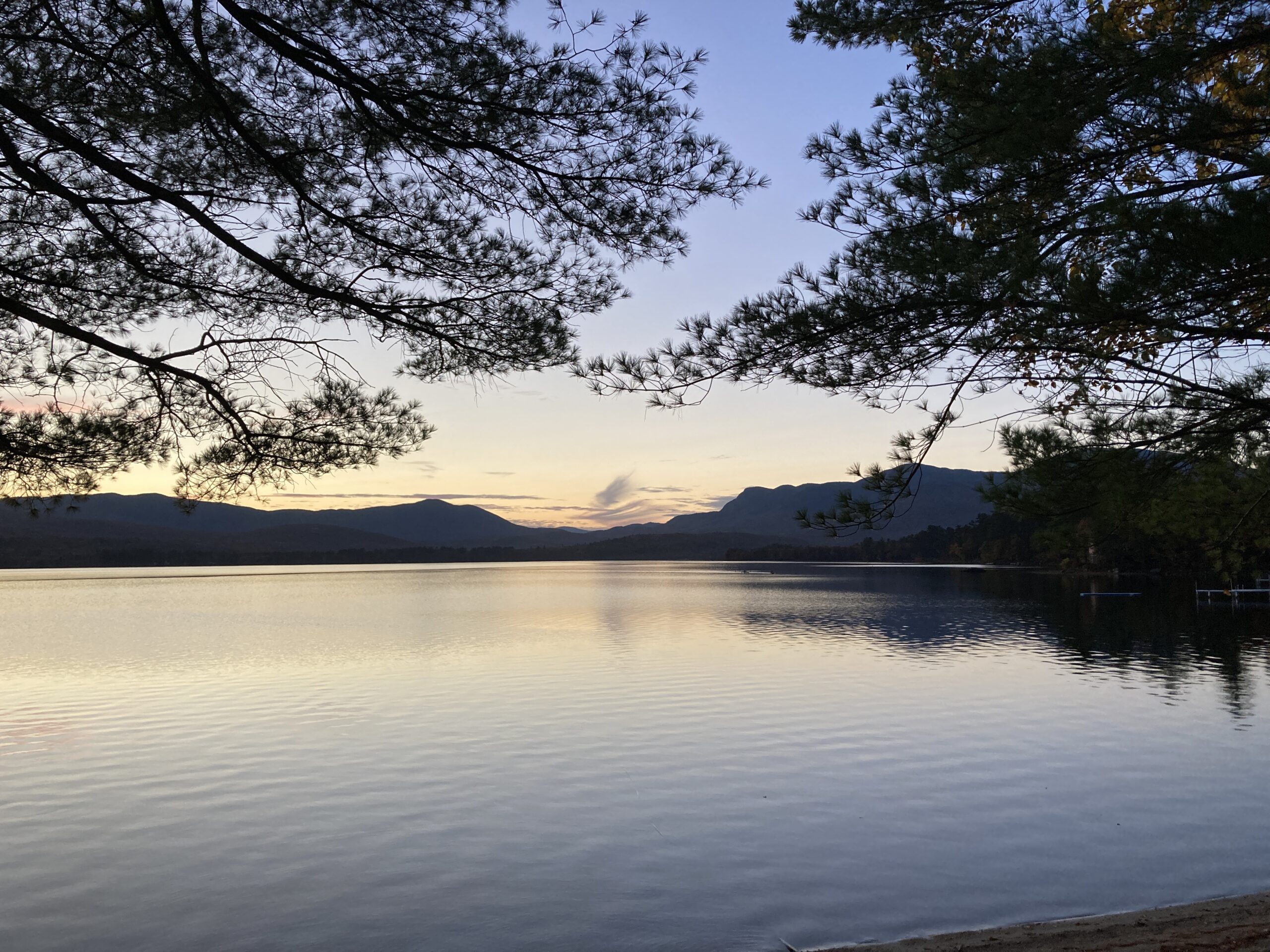
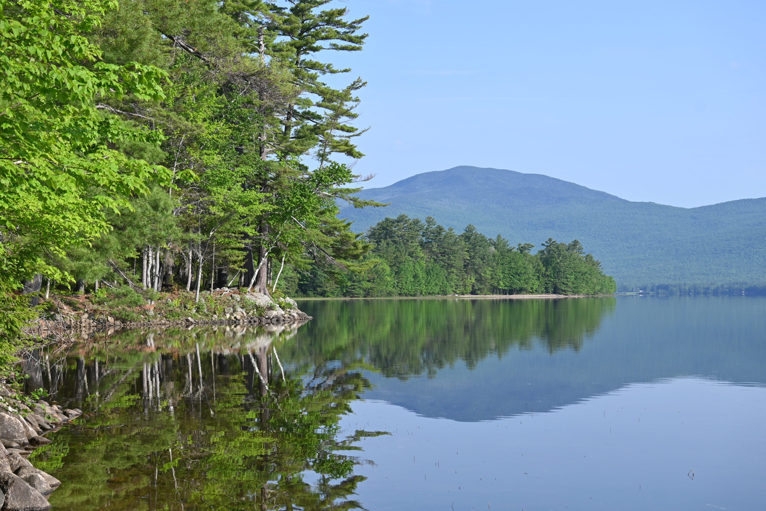
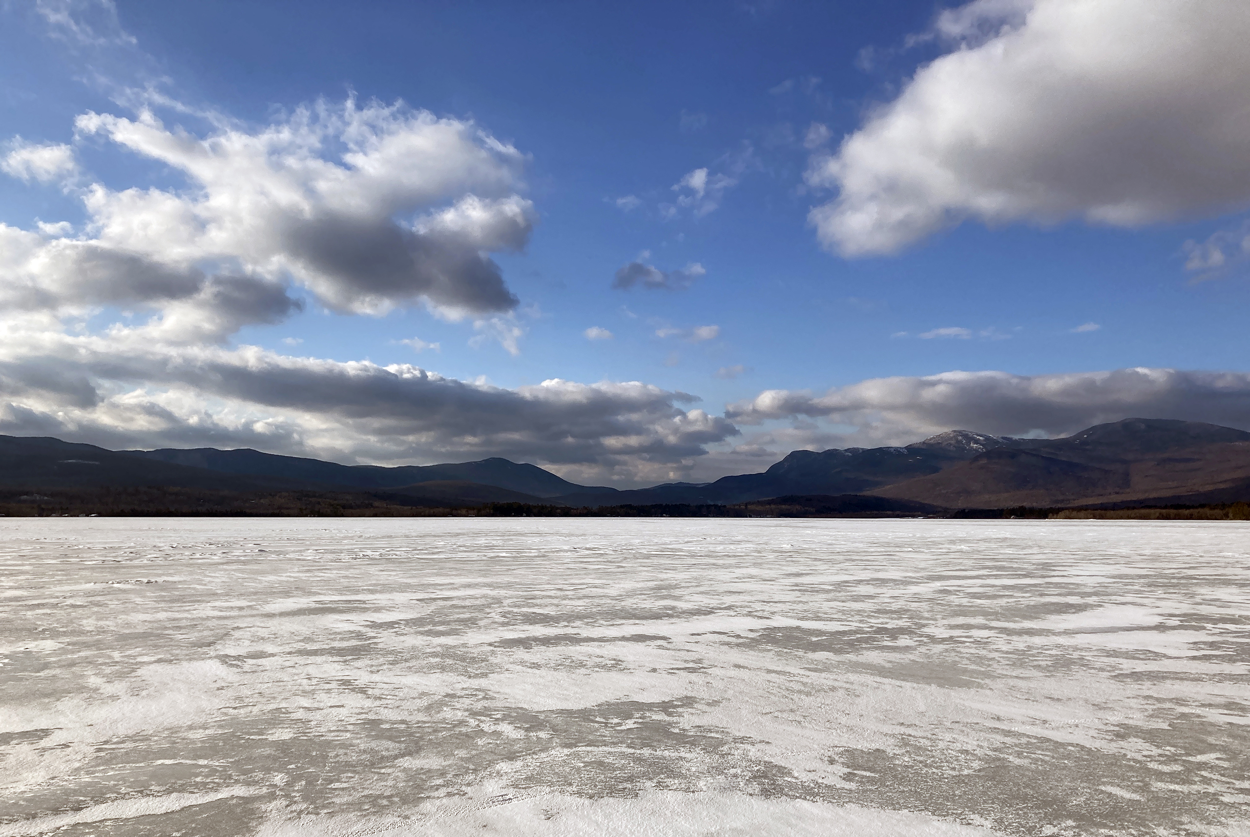
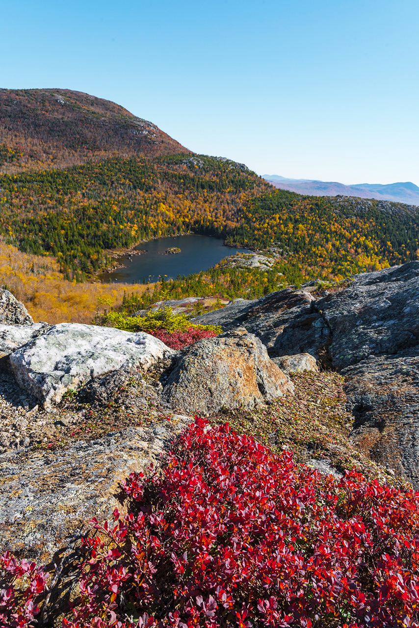
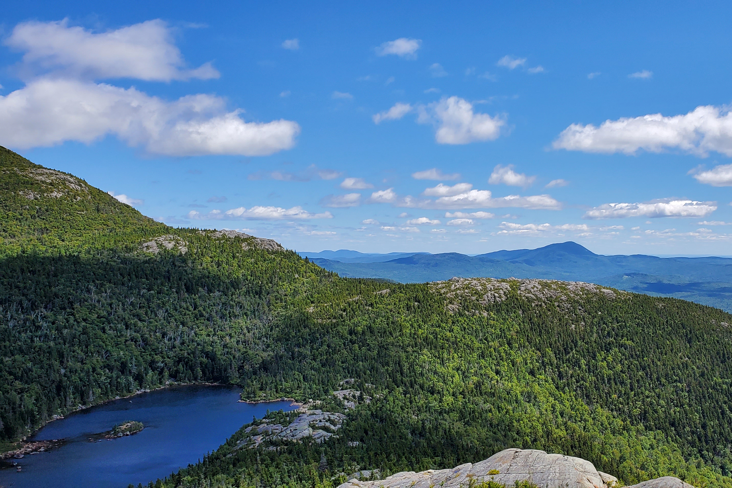
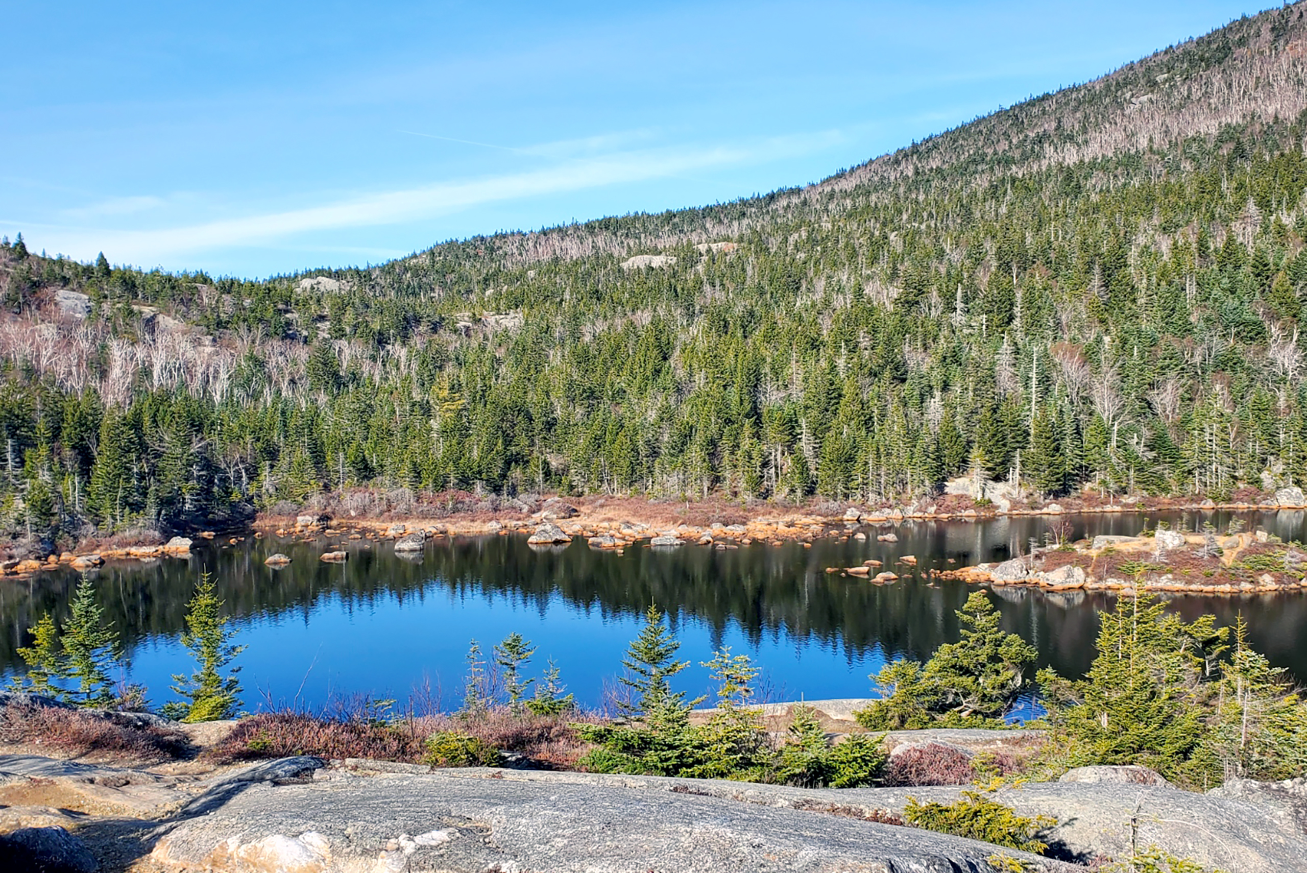
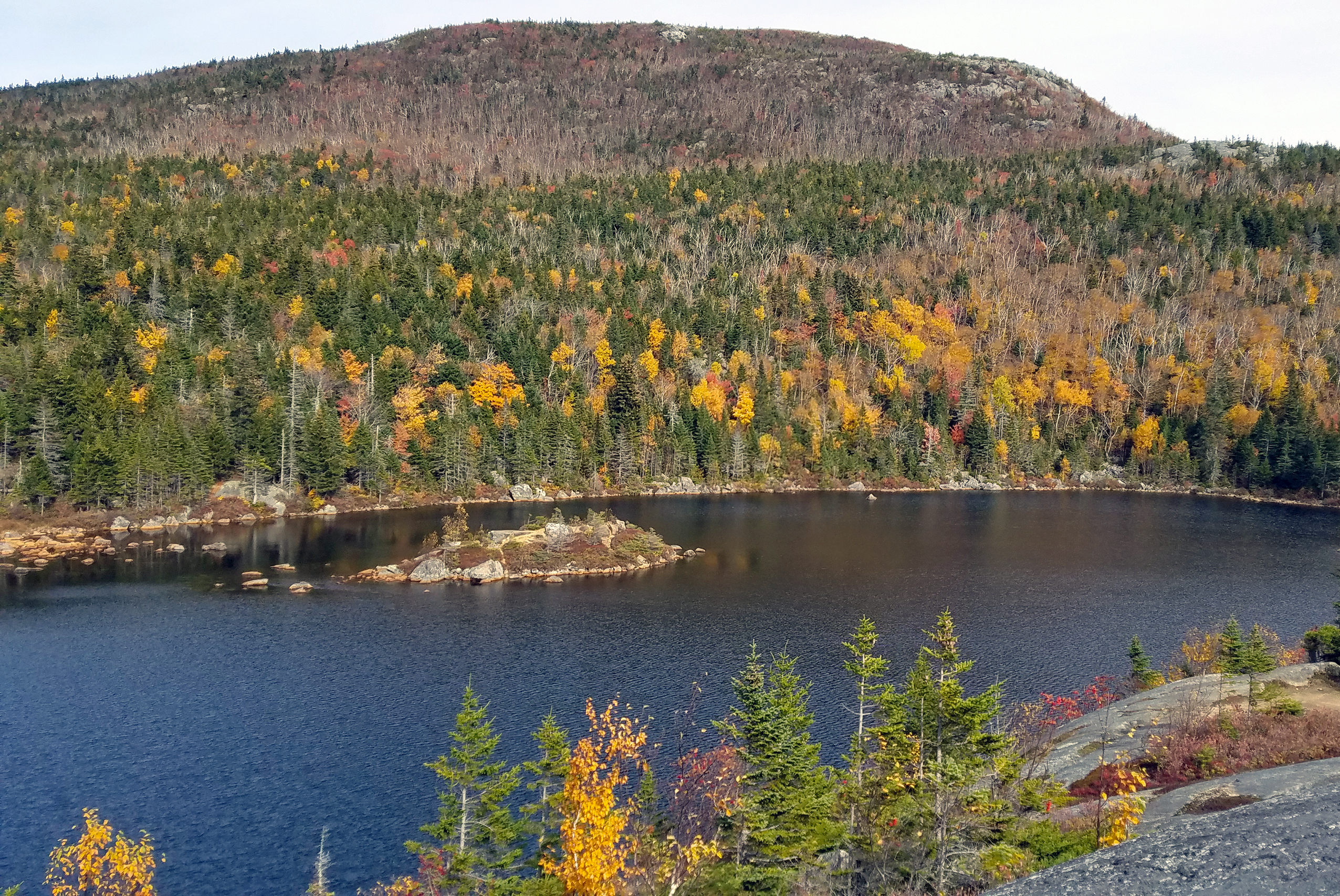
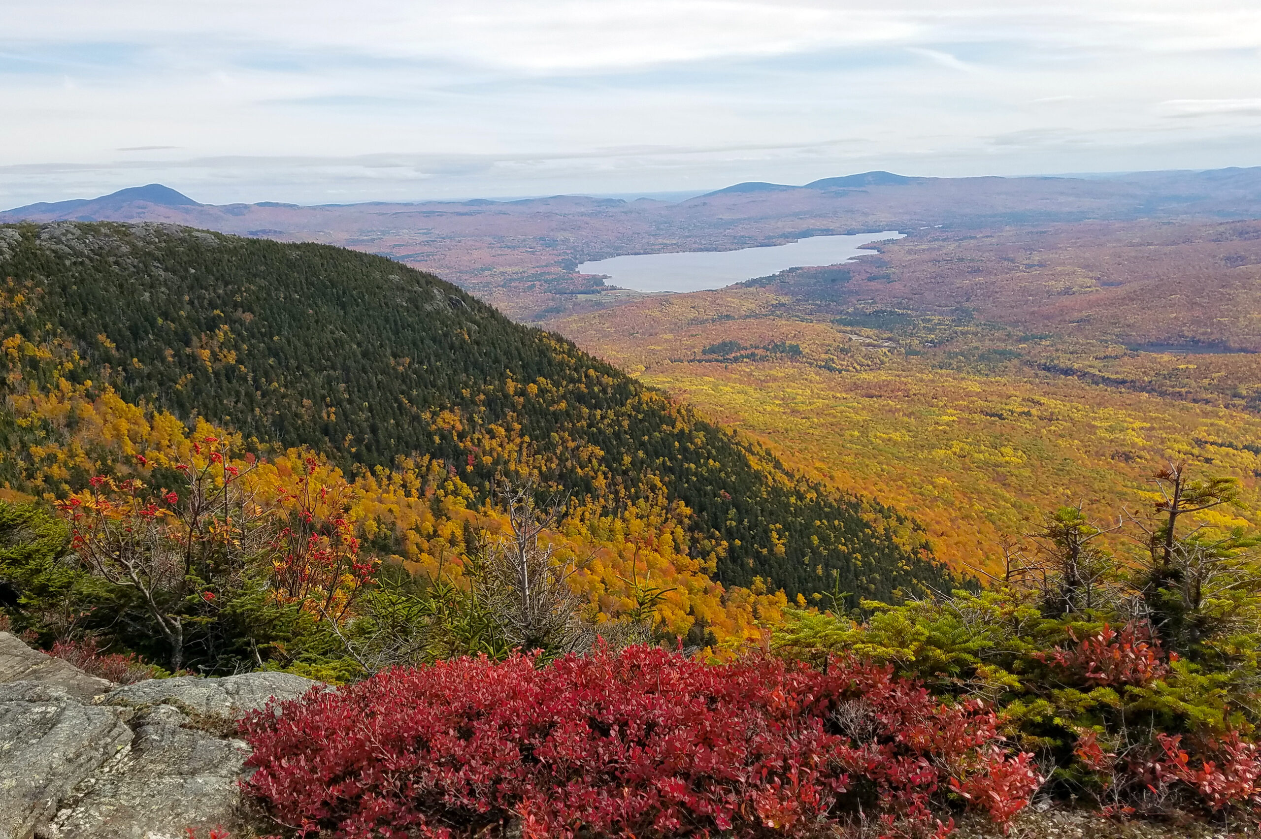
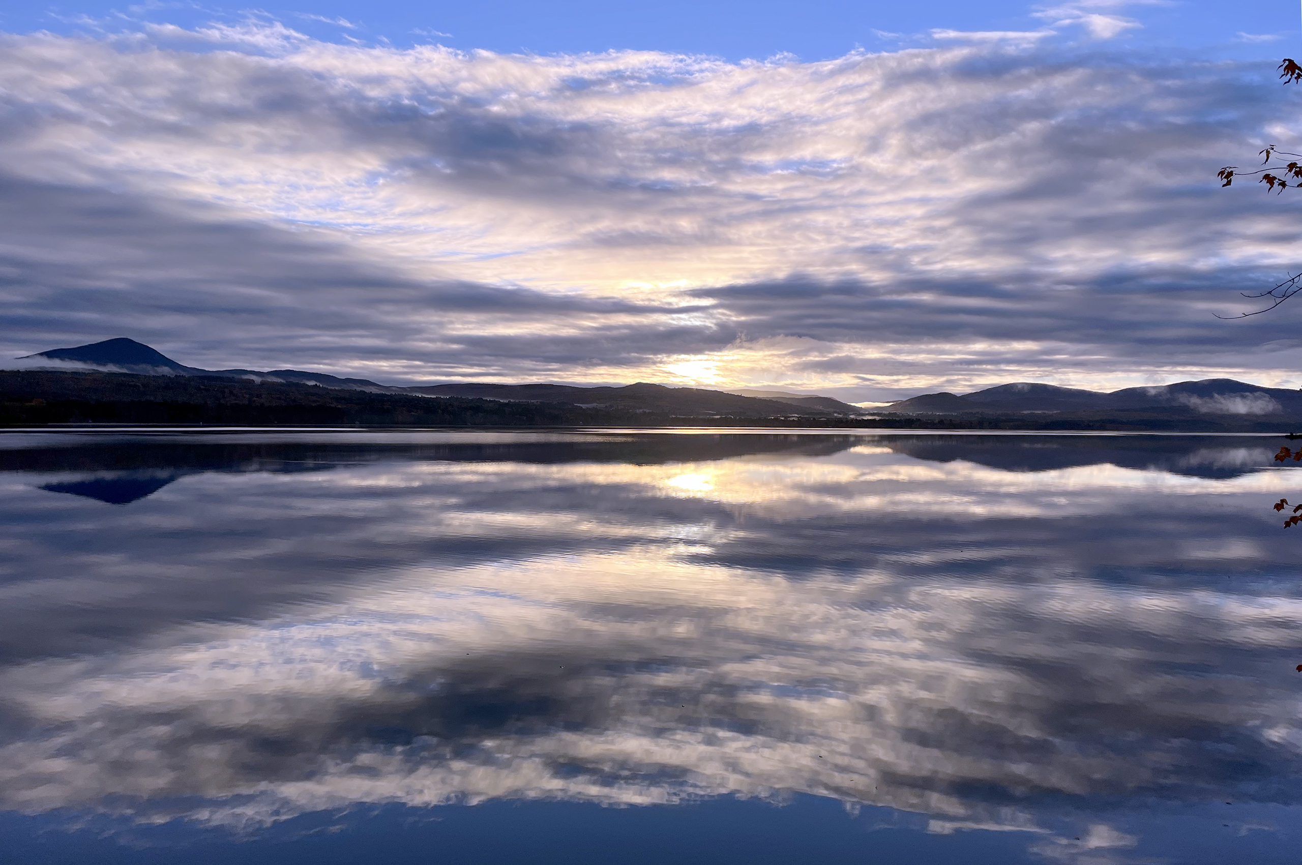
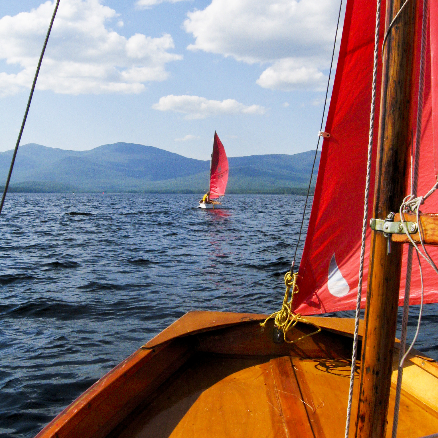
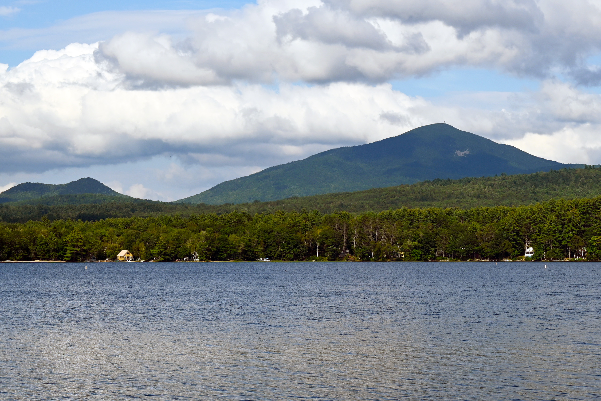
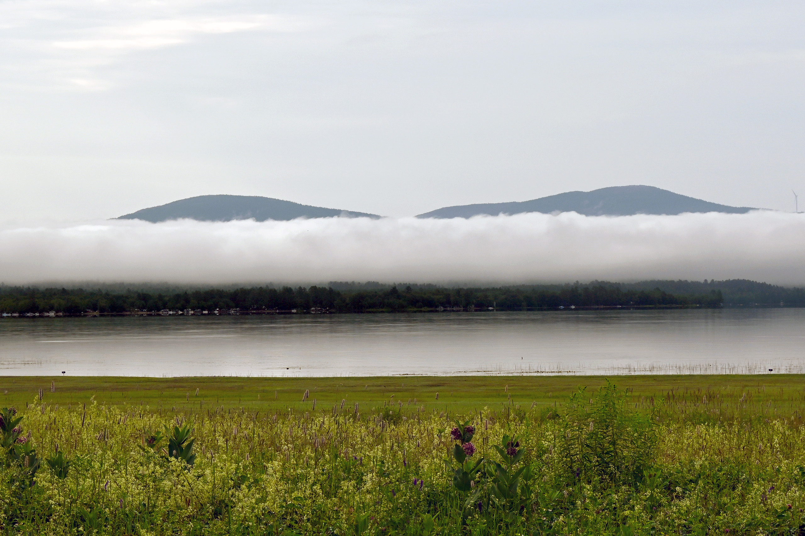
Webb Lake
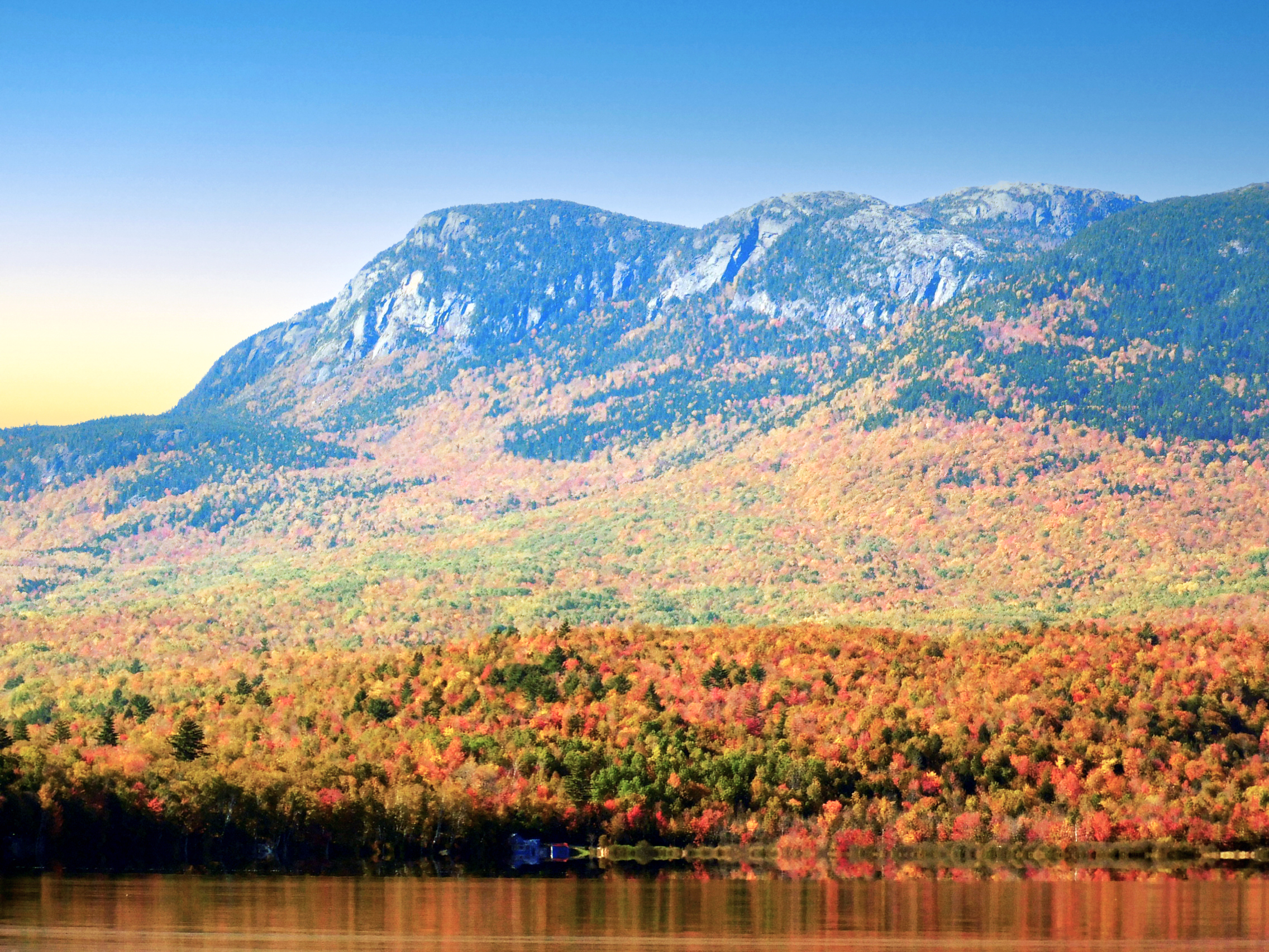
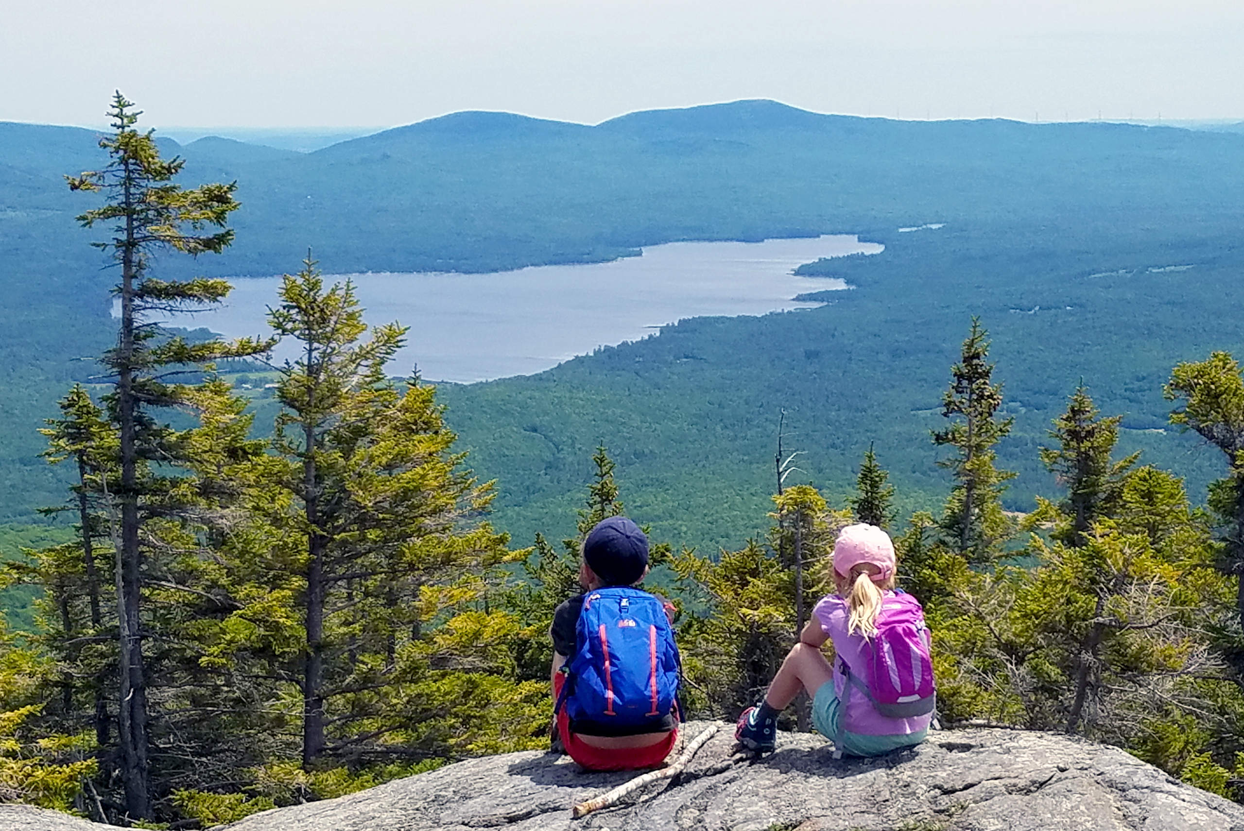
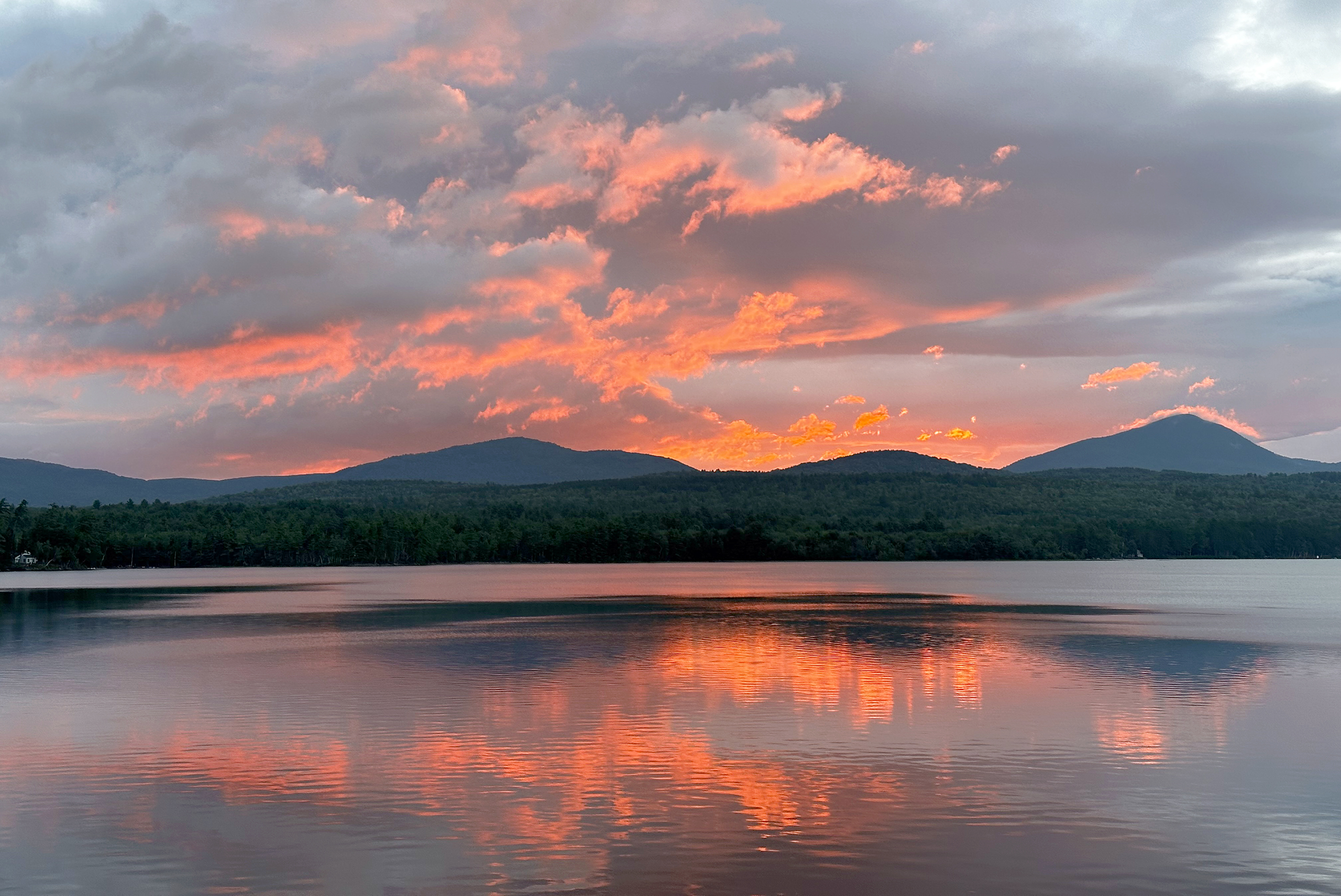
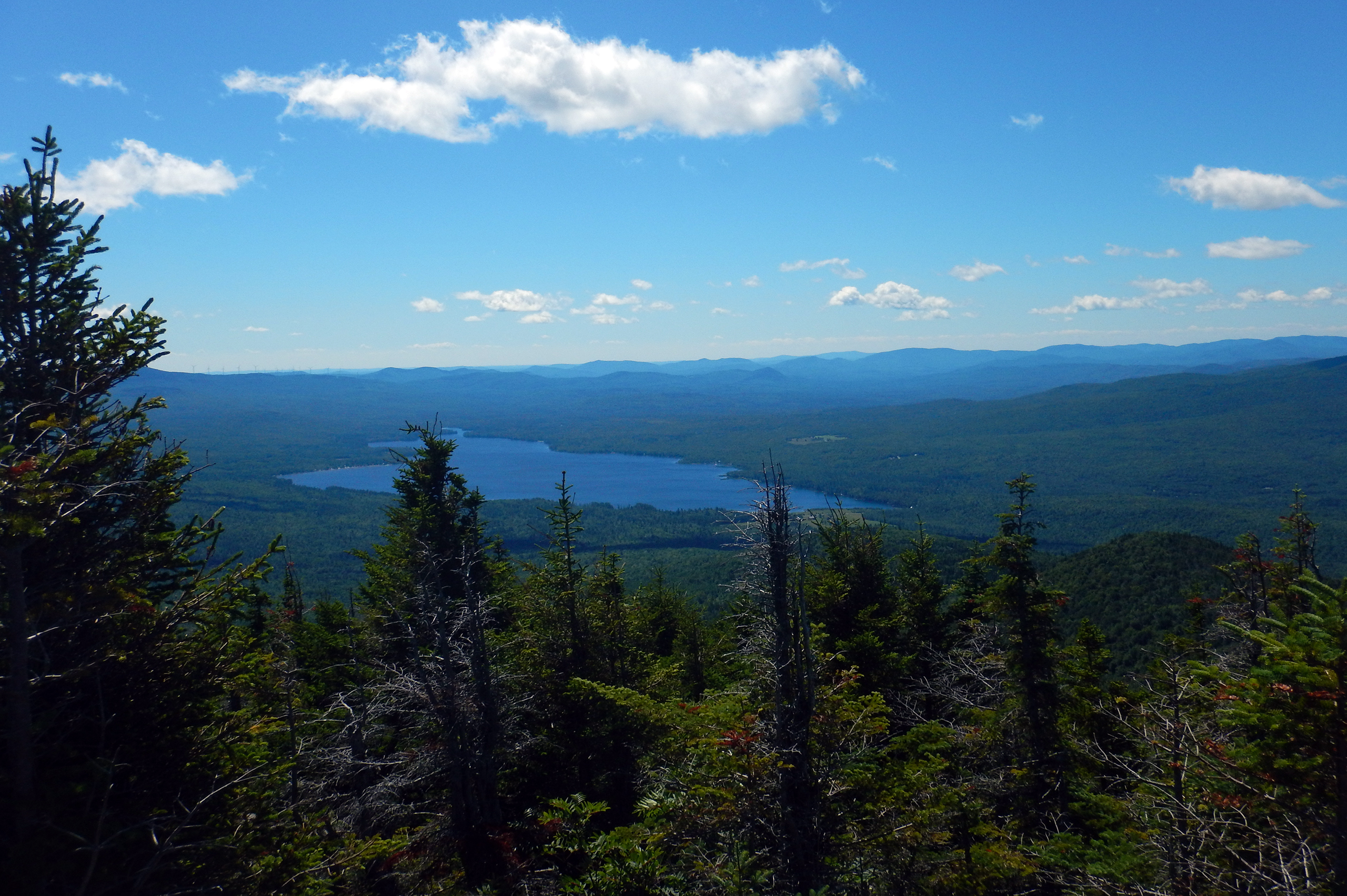
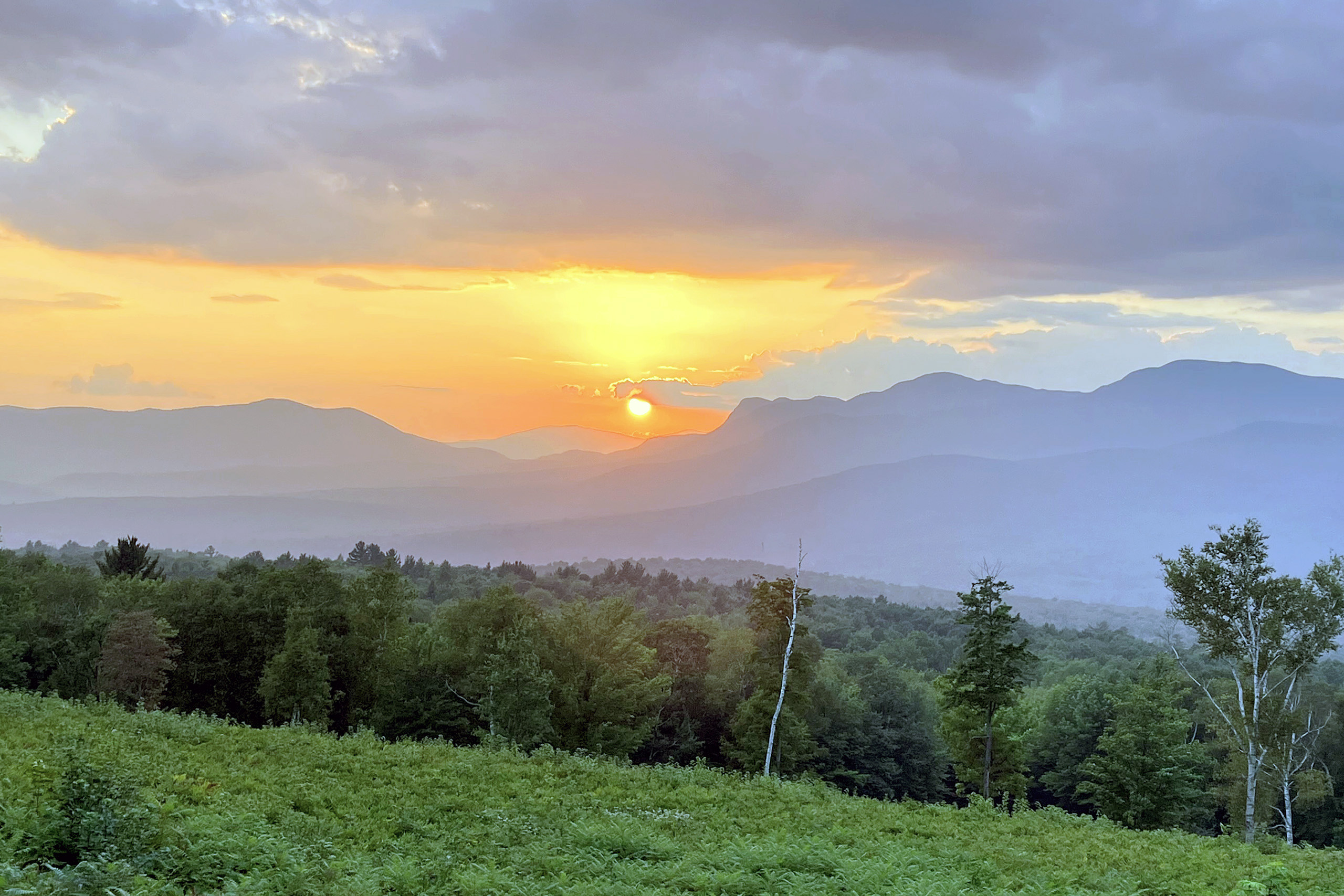
Nestled within these majestic mountains sits the Town of Weld and Webb Lake, one of the most attractive lakes in Maine for boating, canoeing, kayaking, or just visiting. The lake is 4.5 miles long by 1.5 miles wide, providing plenty of space for everyone. Eagles nest on its shores, and ospreys and loons are regularly present. Webb Lake is at the center of nearly every view from the surrounding mountains. Weld is a quaint town with fun summer events including Lake and Heritage Days, lakeside dining, and seasonal shops.

Steward Summaries
Tumbledown Mountain Environmental Steward Summaries By Jared Briar.
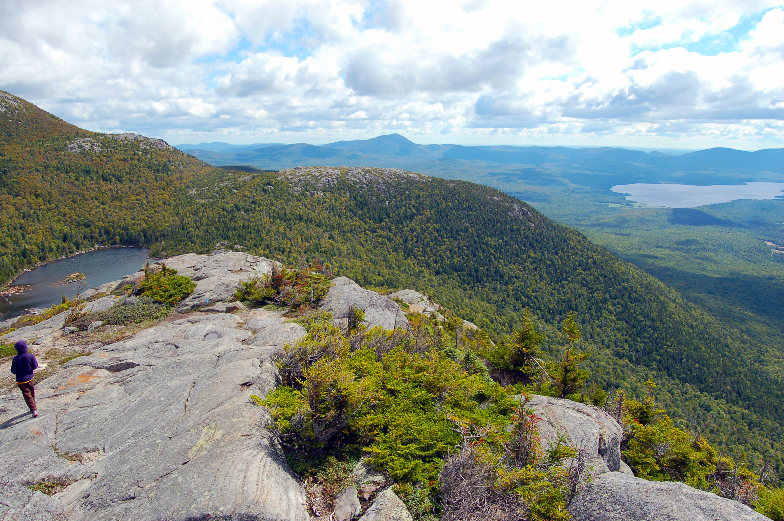
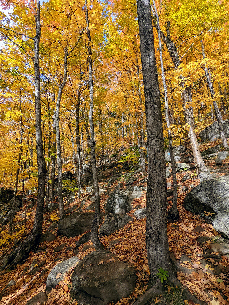
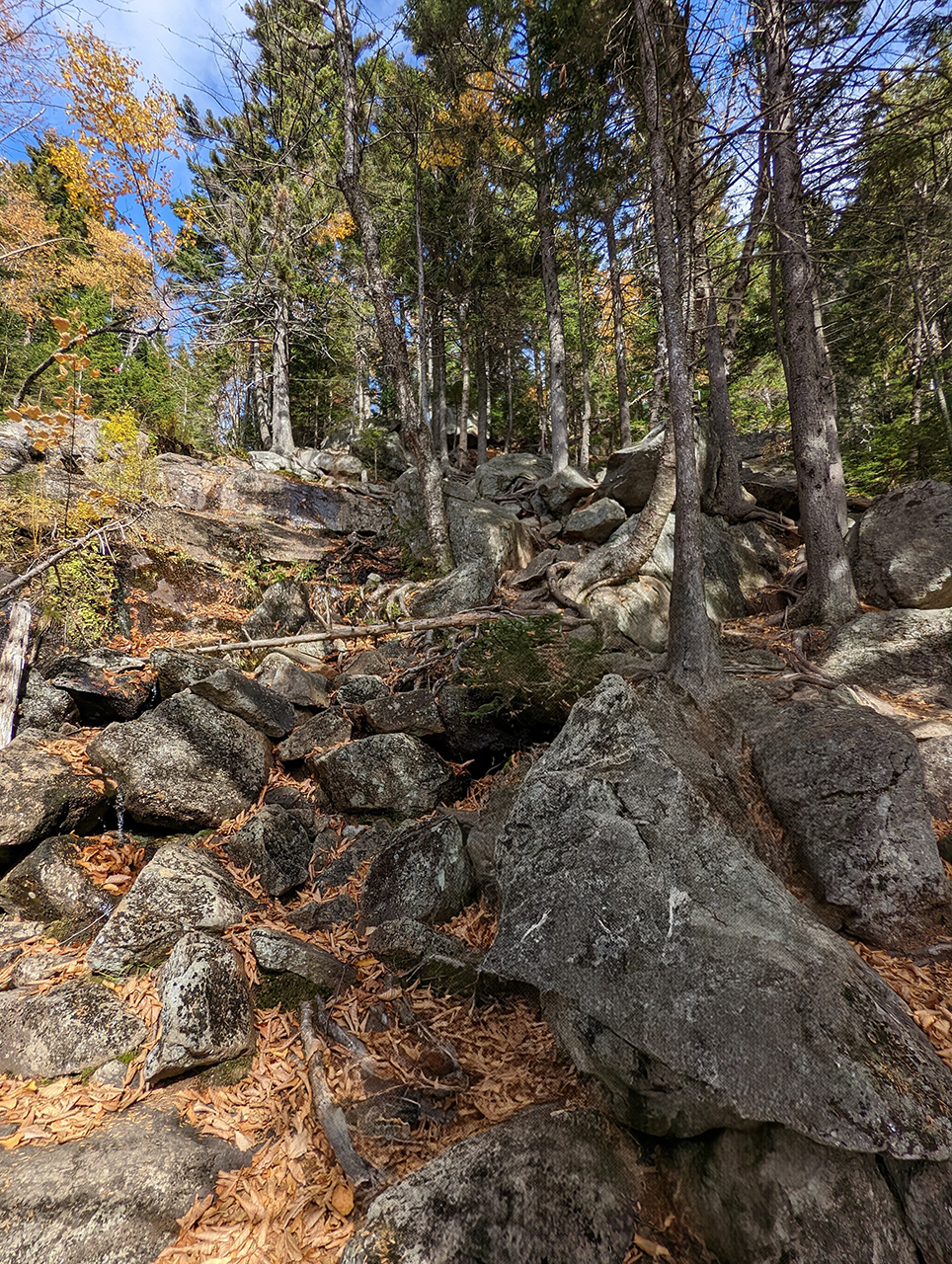
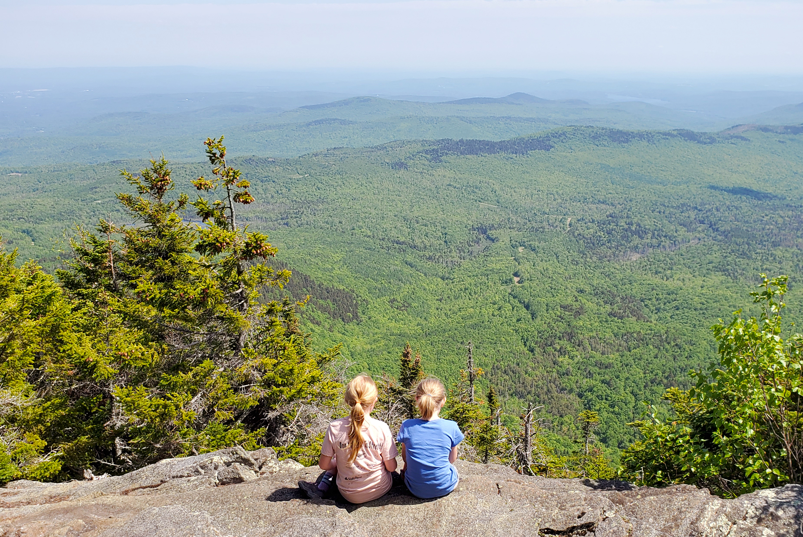
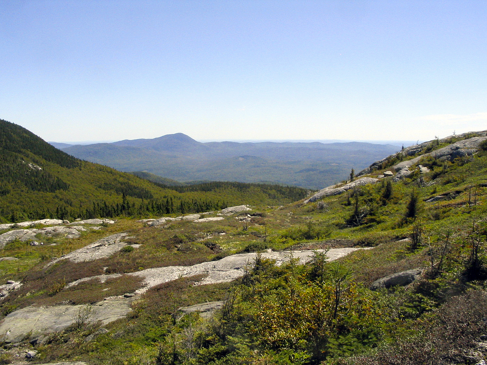
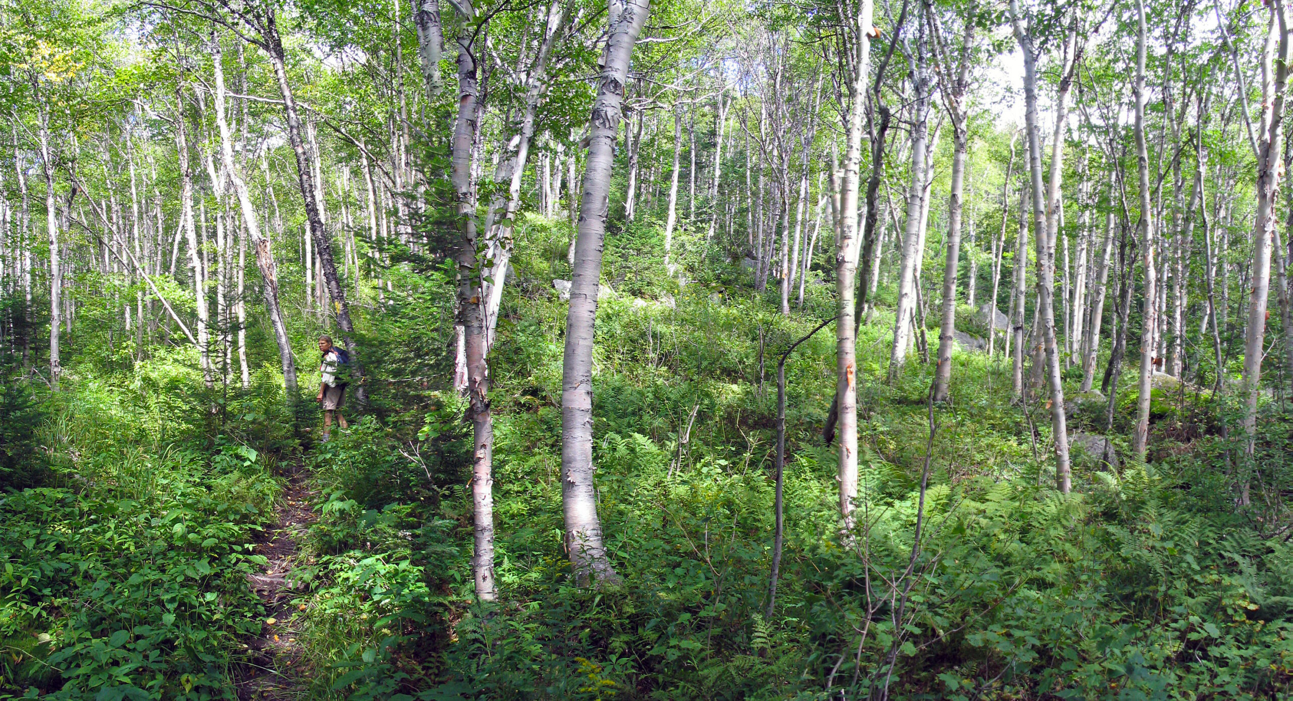
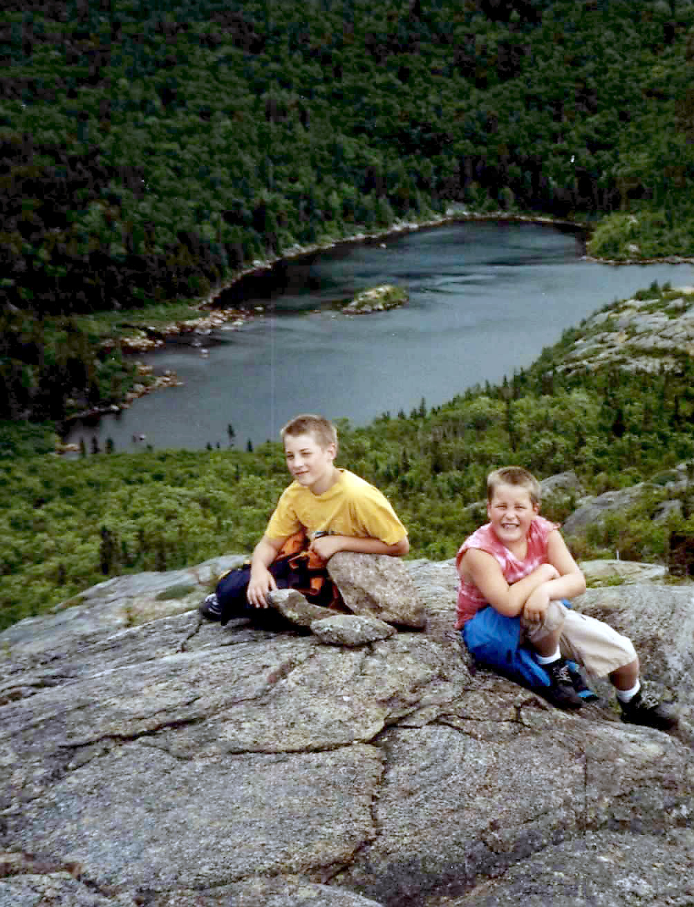
From the breathtaking views to the interesting plants and animals found along the trail, the area has no shortage of material for exploration. The trail system expands not only to Tumbledown Mountain but also Little Jackson and Big Jackson Mountains as well. This allows hikers to keep coming back multiple times and experience something different with each trip.

Tumbledown Management Plan
The Bureau’s overall management focus for the Tumbledown/Mt. Blue Region is built upon the following management principles and objectives:

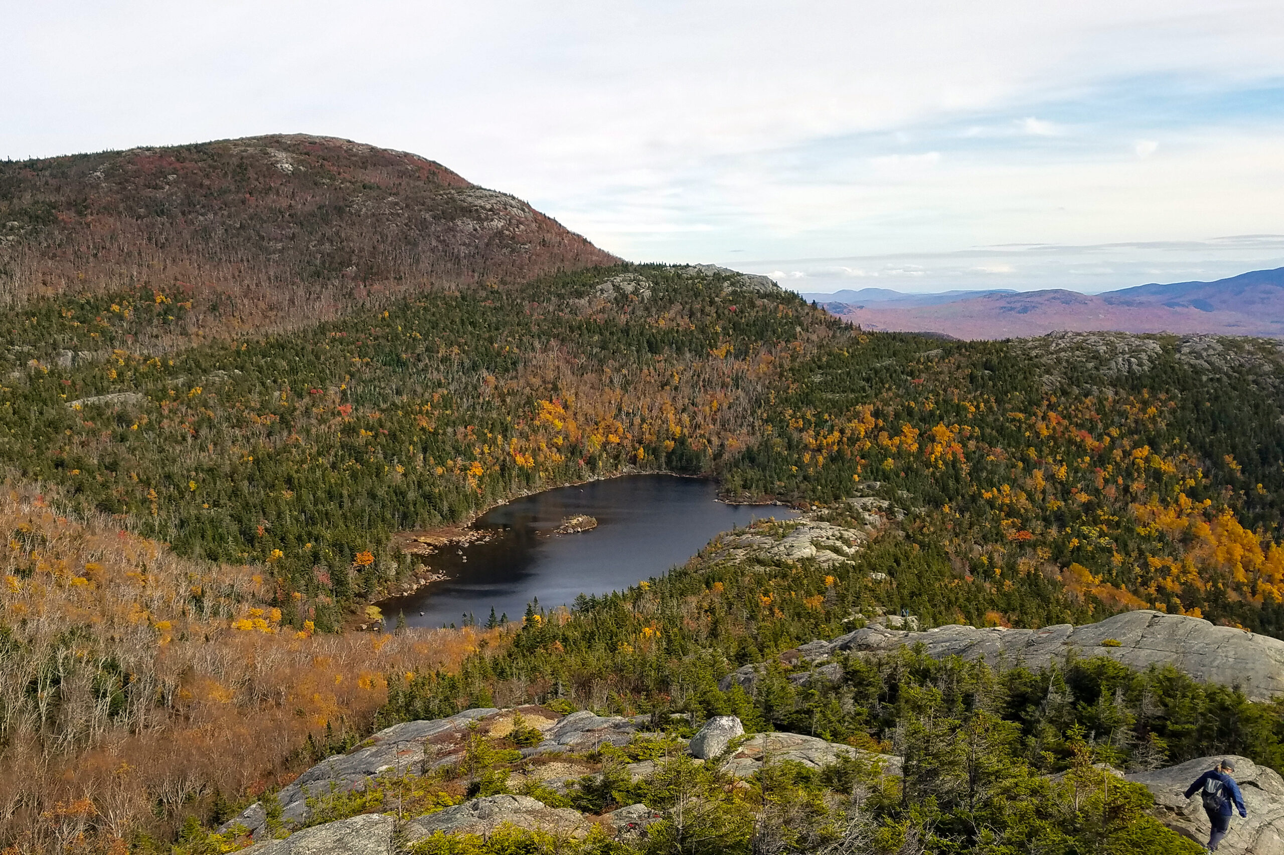
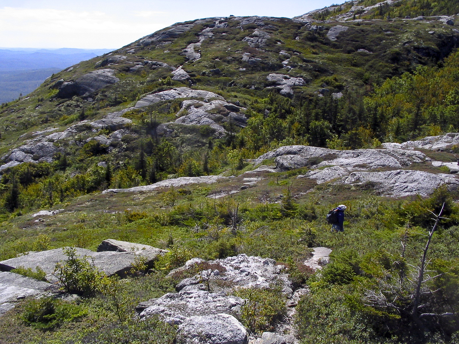
Habitat Focus Area
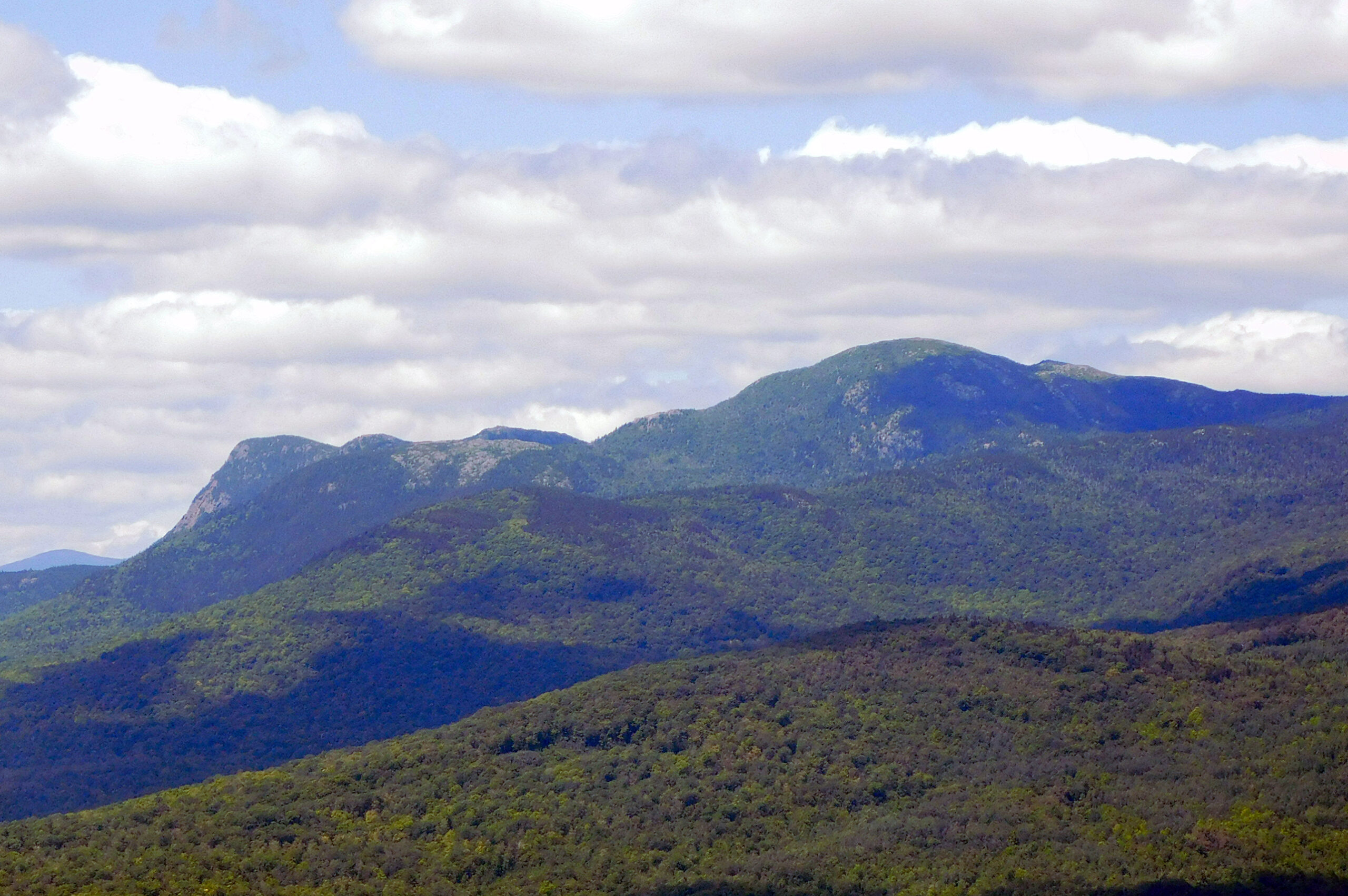
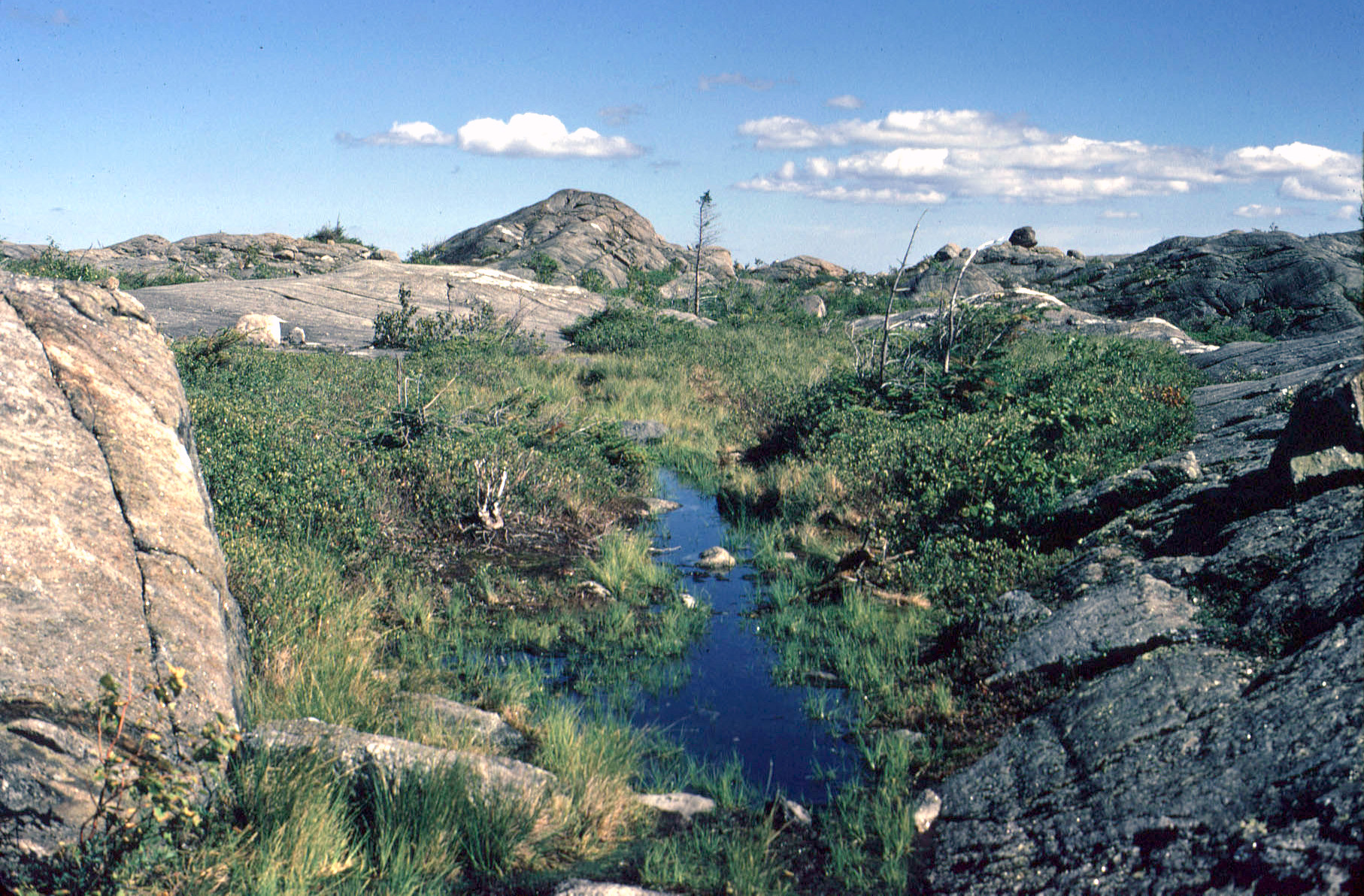
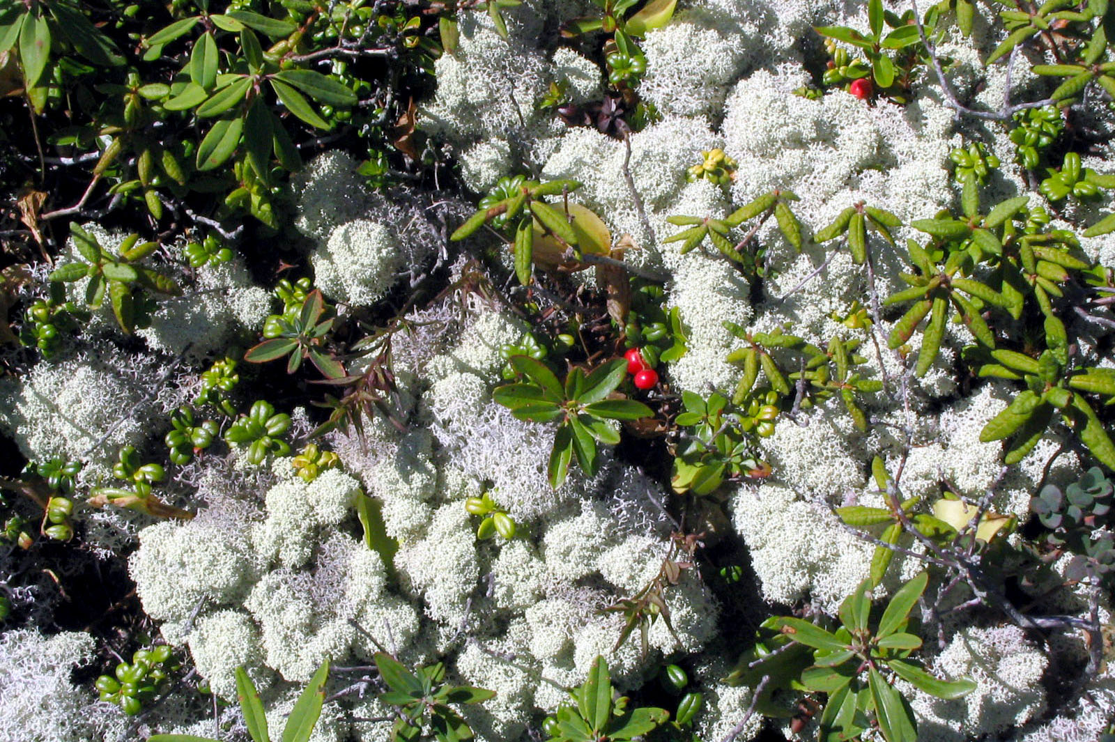
Focus area includes multiple peaks over 2700 ft, ridgelines, high elevation ponds, and the largest Alpine Ecosystem that has been documented in the State.

Mt. Blue and Tumbledown Map
Mount Blue State Park and Tumbledown Public Lands map including Hiking, and Winter Trails. Detailed directions and descriptions.

Hiking Etiquette
Following are a few rules and commonly observed practices from the American Hiking Society that will help make your hike more enjoyable.

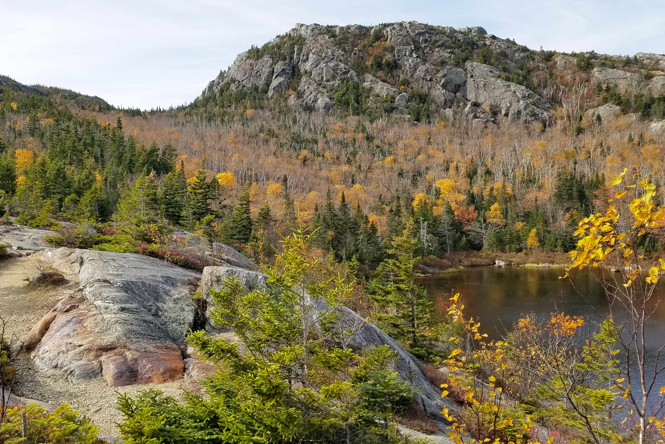
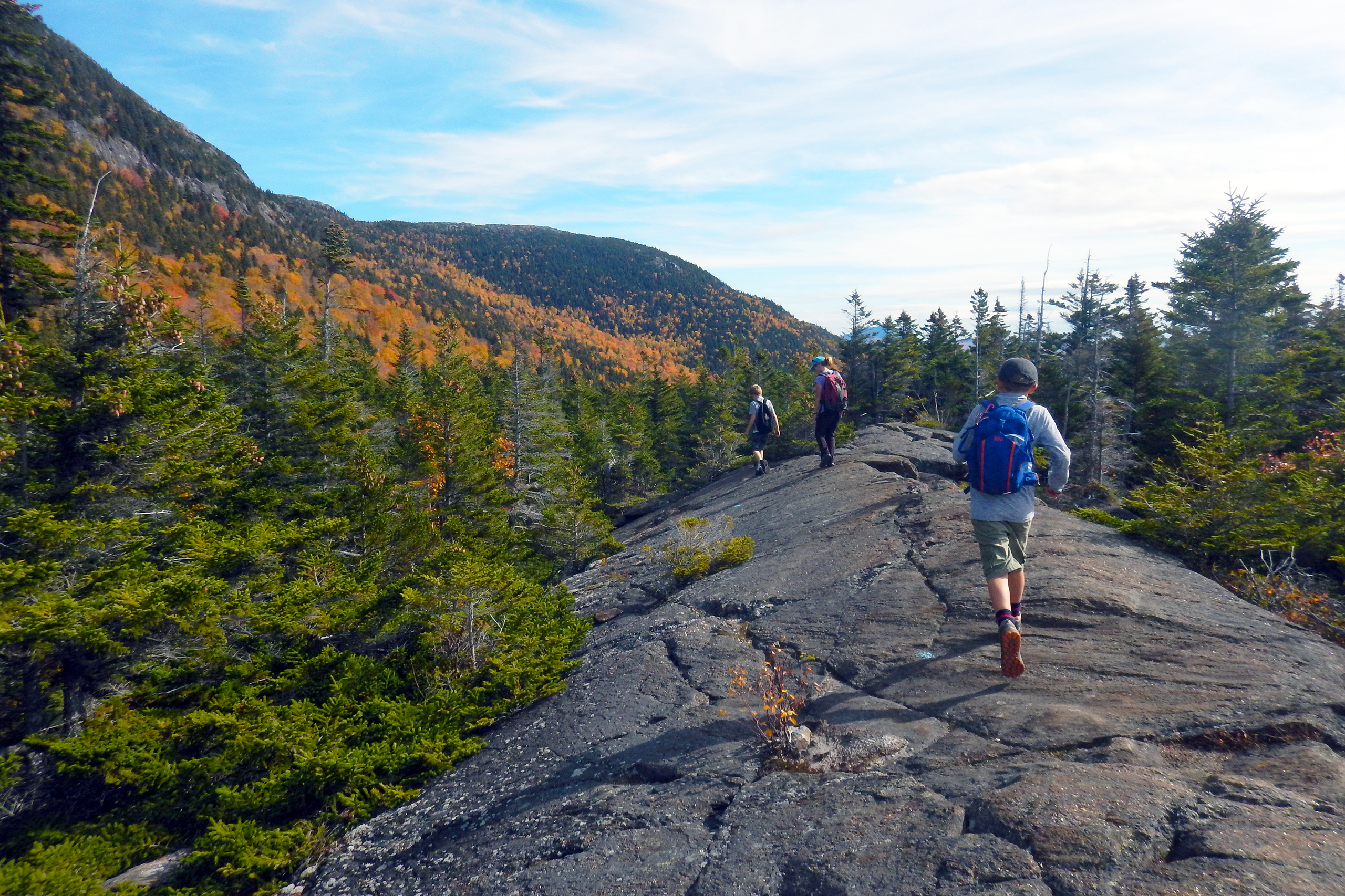
Tumbledown Loop Map
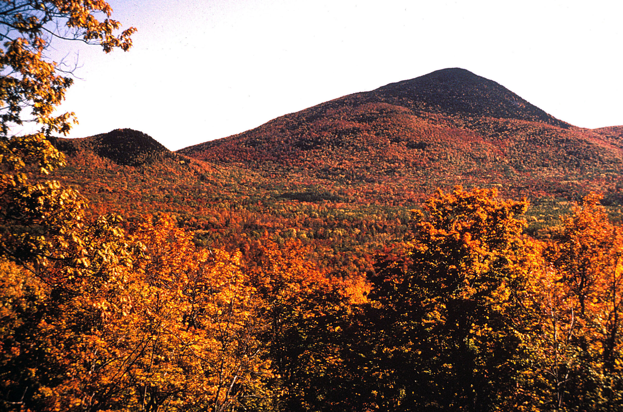
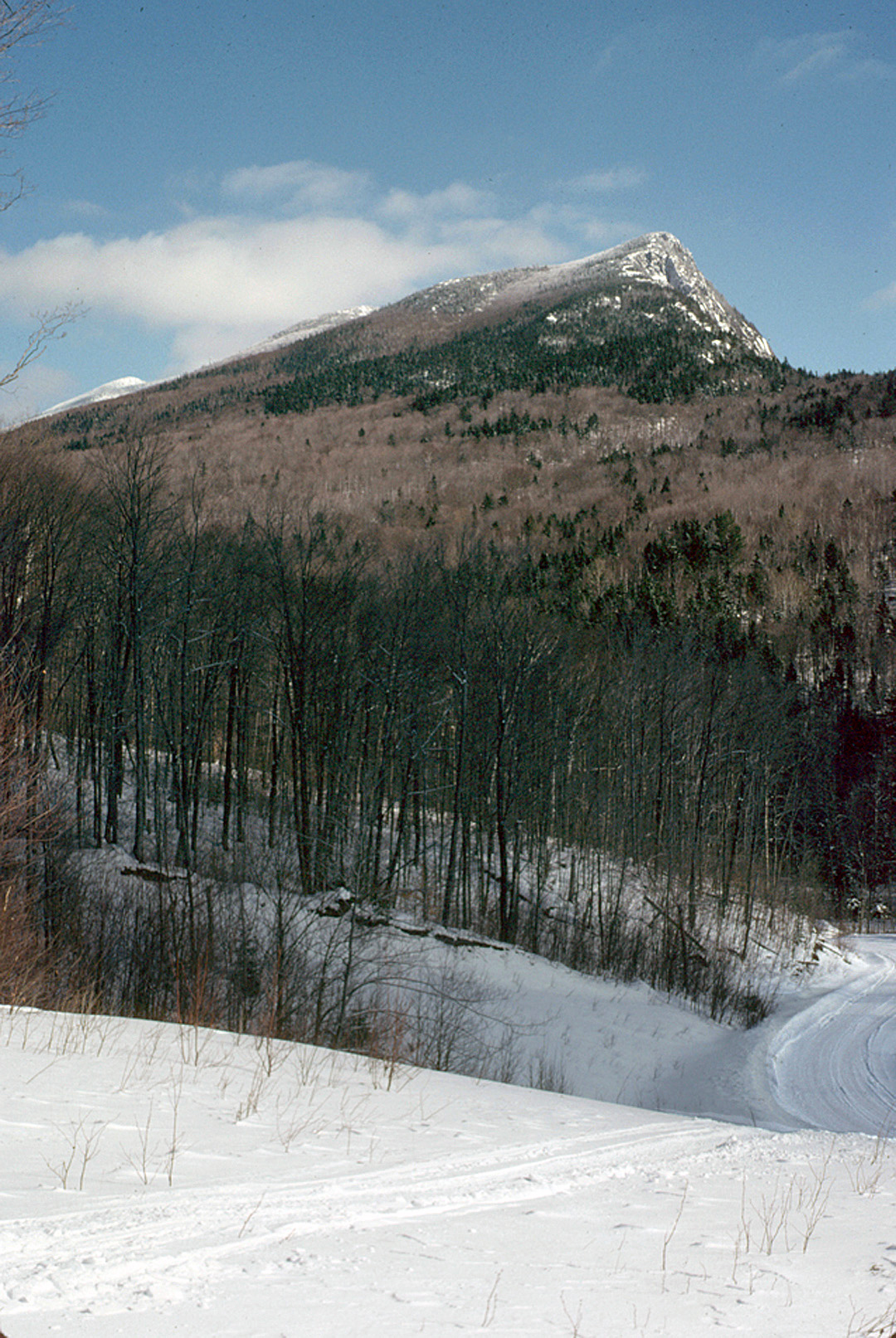
Tumbledown Mountain is the most visited mountain in Maine. It is popular because of the appeal. The mountain has a rich history and natural habitat.

Hiking Safety Guidelines
Hiking in Maine is fun with spectacular scenery and wildlife. There are many important considerations to make your hike safe and help preserve the area.

Geology of Mt. Blue State Park
Geology of Mount Blue State Park by Lindsay J Spigel MGS Circular 22-14 2022 This was a geological field trip guide and has a couple of interesting aerial lidar images of Center Hill.

The Geology of Mt. Blue State Park
Originally published in 1965 by the Maine Department of Economic Development and authored by Kost Pankiwskyj. This survey contains many interesting facts and illustrations.

Afternoon on Bald Mountain
A self guided field trip by Douglas N. Reusch of UMaine Farmington. Located between Wilton and Weld, Bald Mountain is a geological treasure chest with something for everyone.

Geology of Coos Canyon
A Brief Geological Review of Coos Canyon, Byron, Maine, by Robert G. Marvinney

Geology of Tumbledown
A Geological Tour of Tumbledown Mountain, Maine, by Robert G. Marvinney

Geology of Bald Mountain
Geology of Bald Mountain, Washington Plantation, Maine, by Robert G. Marvinney

This pamphlet was published around 1940 by the Maine Development Commission. It prominently features several views of what is now Mt Blue State Park and the work recently completed there. Opposite page 1 we see the new road up to the Center Hill overlook, with Tumbledown in the distance. Extensive open fields are visible along Center Hill Road below. On page 36 (bottom photo) we see the new shelter and parking lot, again set against the Tumbledown range. Look at those new cars! The photo on page 6 shows the new overlook across Center Hill Road from park headquarters and the field so popular with blueberryers today. Also of interest is the view of Tumbledown from the west, somewhere along the Byron Notch Road (page 9), an open view impossible today.
We thought it might be interesting for you to read the old trail descriptions too. Note the mentions of landmarks now missing, as well as now grown up fields, and the evolution of the name of Parker Ridge. But don’t use these for trail directions – use a current guide.

Ecological Aspects of The Mt. Blue/Tumbledown Project by Pamela Prodan
History
When the Tumbledown Conservation Alliance was organized in 2000, only the Mt. Blue and Center Hill trails were on public land or protected. Nonetheless, many people thought that Tumbledown Mountain was part of Mt Blue State Park. Now, virtually all the Tumbledown range trails have been protected, and Mt Blue State Park has been significantly expanded. Here’s how it happened.
In late 1999 more than 90,000 acres in the region had been put on the market. Nearly half of the land in Mexico, Dixfield, Carthage and Weld suddenly was for sale and several thousand acres of it were right next to Mt Blue State Park.
Just prior to this, another 4,000 acres south of Tumbledown had been heavily cut and plans filed to split it into 40 acre lots. Many people became concerned about what would happen to so much of the land in the area. Some of the 90,000 acres had already been sold and were being heavily cut and resold in smaller parcels for residential development.
Some of the park’s hiking and ski trails depended on access to parts of this land, particularly in the Hedgehog Hill area, and it comprised a major part of park views. People throughout the region and the state traditionally counted on access to the land for hiking, hunting and fishing, and its forests also provided a reliable timber base for the local economy.

Responding to these surprising, and some might say shocking developments, many area residents met in December 1999 to explore options for protecting Mt Blue State Park and the mountains of the Weld area from development and fragmentation. In 2000 we organized the Tumbledown Conservation Alliance. We worked with the State to develop a conservation plan to protect critical areas and guarantee public access and the continuation of forestry activities. The plan included a combination of fee purchase and purchase of conservation easements. Fee purchases were made for critical areas, while the easements enabled lands to remain in private ownership while guaranteeing public access, preventing subdivision and development, and promoting sound forest management.
Shortly after TCA became organized, another 12,000 acres in Township 6 came up for sale. The tops of Tumbledown and Little Jackson Mountains were in this parcel. We hadn’t started any too soon!
Since 1999, three phases of land protection – the Mt. Blue-Tumbledown Project – have been completed. The Tumbledown Conservation Alliance, in partnership with the Trust for Public Land and the Maine Department of Conservation, helped raise $8 million to protect 26,000 acres in this region.
The Land for Maine’s Future Program and the United States Department of Agriculture’s Forest Legacy Program provided significant public funding, but essential to the project were almost 1000 private donors, who generously gave nearly $600,000 in matching funds to help preserve favorite hikes and scenic vistas, to maintain the integrity of wildlife habitat and clear waters and to sustain the forest economy.
When TCA began 25 years ago we said we would be here for the long run, not just helping to raise purchase money, but also for trail maintenance and management of the protected land.

Founders of the Tumbledown Conservation Alliance included:
-The Webb Lake Association
-Foothills Land Conservancy
-Friends of Maine State Parks
-Western Maine Audubon Society
-The Appalachian Mountain Club
-Local and seasonal residents
-Students from the University of Maine at Farmington
Latest News
Photo Gallery
Contributing Photographers:
Kris Tyler, Heidi Stowell Nichols, Tim Pierce, Gordon Davenport, David & Gail Boisvert, Doug Bonney, Anne Agan,
Nancy Carpenter, Amy & Brad Lareau, William Saums, Dawn Girardin, Paul Haberstroh, Jean Biondo


-
- Photo by Kris Tyle
-
- Photo by Heidi Stowell Nichols
Historical Photos
Historic Weld area Photographs in the Library of Congress. These photos are in the Library of Congress’ FSA/OWI (Farm Security Administration/ Office of War Information) black & white collection, the same collection that has photos by such famous photographers as Dorothea Lange. They can be viewed on the Library of Congress online Catalog. Look for FSA/OWI, or search for one of the numbers below at the end of the description. All four were taken in Weld, Maine in the early to mid 1930s.
As part of an effort to provide relief to distressed rural areas during the Great Depression, the federal government bought land in Weld in the 1930s; it subsequently gave it to the state for a park. WPA or CCC crews built shelters and roads. You can see some circa 1940 photographs in the pamphlet “Mountain Climbing in Maine”. A photographer might have been sent at that time to document the area.
-
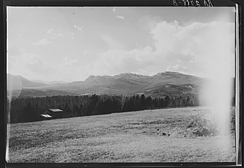
- Looking west, this was taken across Center Hill Road from what is today the Mount Blue State Park headquarters/park manager’s house. The mountains in the distance are in the Tumbledown range, from left to right Tumbledown (three small humps), Little Jackson, and Jackson Mountains. The house at the edge of the field, a log cabin, was built in 1932 and had four owners before the current owner, Rusty Lee, bought it around thirty years ago. Lee worked briefly for the park around 1942 and is one of Weld’s “historians.” LC-USF341-002788-B
-
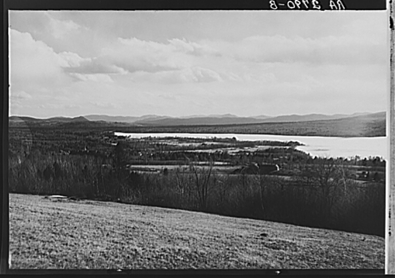
- Taken from the same place, looking south over Weld village and Webb Lake towards Dixfield, with its distinctive Sugarloaf (the small pointed mountain to the left of the lake). The field is a popular blueberrying destination. LC-USF341-002790-B
-
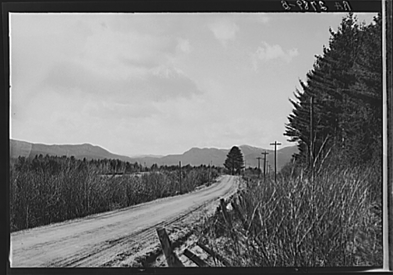
- Looking west along what is now Maine Rt 156 towards “Twin Pines,” with West Mtn and the Tumbledown range in the distance. According to the late Earland Masterman, another Weld historian and lifelong resident who was in his 80s when I spoke with him around 2002, the road was paved in 1935 or 36. At the time I spoke with him he lived within a few hundred feet of where this photo was taken. Because of the open fields and farms “you could see the pines as soon as you came down past the spring.” For many years the camp at these pines had the sign “Twin Pines.” LC-USF341-002789-B
-
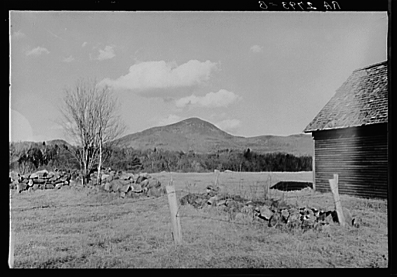
- Mount Blue, looking easterly from the Buker farm off Temple Road, according to both Lee & Masterman. This is all grown to woods now. LC-USF341-002793-B
Links
sTATE
Eclipse Information
Maine Total Solar Eclipse
Video about the Maine Total Solar Eclipse
Important Safety Message
Important solar eclipse safety information relative to the Tumbledown – Mt. Blue area.